Opening Hours
Daily: 10 A.M.–5 P.M.
Closed on Tuesdays
1151 Oxford Road
San Marino, CA 91108
Daily: 10 A.M.–5 P.M.
Closed on Tuesdays
1151 Oxford Road
San Marino, CA 91108

![Carte de la Floride Occidentale et Louisiane - La Peninsule at Golfe de la Floride ou Canal de Bahama avec les Isles de Bahama [two maps in one]](/_next/image?url=https%3A%2F%2Frail.huntington.org%2FIIIF3%2FImage%2F22APN4KVPDMF%2Ffull%2F%5E360%2C%2F0%2Fdefault.jpg&w=750&q=75)
Visual Materials
Kashnor notes, "Copied from Jefferys' fine chart, the best chart of the time for navigators to Florida and the Mississippi. This was issued for the use of French allies during the Revolution." Appeared in reference from RLIN record. Compass rose. Ships on two routes.. Prime meridian: London, Ferro. Relief: pictorial. Graphic Scale: No. Projection: Mercator. Watermark: Chained Maltese cross lettering. Printing Process: Copper engraving. Other Features: Art Work. Verso Text: MS notes: 28 29 98.
105:098 M
Visual Materials
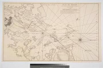
Kashnor notes, "A scarce chart. This is really a chart of Boston Harbour with a Plan of the City, it also locates 'Ruines des Charles Town.' Copied from the English Chart drawn about 1776 [105:065M], this was issued in 1778 for the use of the French allies during the Revolution." Appeared in from RLIN record. Relief: hachures. Graphic Scale: Miles, nautical. Projection: Plane. Watermark: Chained Maltese cross, text. Printing Process: Copper engraving. Verso Text: Ms note: 67.
105:067 M
Visual Materials
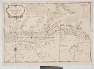
Kashnor notes, "A rare chart of the Chesapeake, copied from the English chart. It was issued for the use of French navigators during the Revolution." see also 105:149M for a reduced size version of this map. Cartouche with nets, anchor and coral. Submap of Herring Baye en Maryland. Compass rose.. Prime meridian: Paris. Relief: no. Graphic Scale: Miles, lieues. Projection: Mercator. Watermark: Chained Maltese cross. Printing Process: Copper engraving. Other Features: CartoucheSub-maps. Verso Text: MS note: (Upper) 16 17 (Lower) 18 19.
105:086
Visual Materials
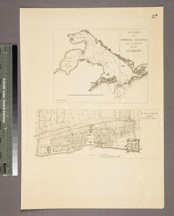
Kashnor notes, "Both chart and plan are copied from Jefferys. The were issued by Le Rouge for the use of French navigators during the Revolution." Kashnor dates as [1778]. See 105:097S for original maps. Two maps on one sheet. MS note: 27. Relief: no. Graphic Scale: Miles, furlongs. Projection: Plane. Watermark: Lettering. Printing Process: Copper engraving. Other Features: Sub-maps. Verso Text: MS note: 96.
105:096 S
Image not available
Visual Materials
Kashnor notes, "A scarce map, issued for the use of French navigators during the Revolution." This map appears to be half of the RLIN record cited. Inset Riviere de Uo.. Relief: no. Graphic Scale: Leagues. Projection: Plane. Watermark: Crowned Maltese cross lettering. Printing Process: Copper engraving. Other Features: Sub-maps. Verso Text: MS note: 104.
105:104 M
Visual Materials
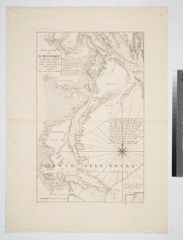
Kashnor notes, "A rare chart of what now is called Callibogue Sound. It was taken from the rare English chart, and issued for the use of French navigators during the Revolution." Relief: no. Graphic Scale: Milles. Projection: Plane. Watermark: Chained Maltese cross lettering. Printing Process: Copper engraving. Verso Text: MS notes: 83 2+.
105:083