Opening Hours
Daily: 10 A.M.–5 P.M.
Closed on Tuesdays
1151 Oxford Road
San Marino, CA 91108
Daily: 10 A.M.–5 P.M.
Closed on Tuesdays
1151 Oxford Road
San Marino, CA 91108

Rare Books
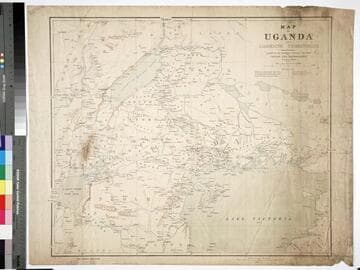
Kirkpatrick Catalogue entry: "2444 Macdonald, J.R.L. Map of Uganda and adjoining territories compiled for the Intelligence Division, War Office. London, Edward Stanford, 1895. 1 sheet. [see cabinet]." MS notes: Burton (map cabinet) Macdonald. Prime meridian: GM. Relief: shaded. Graphic Scale: Miles. Projection: Cylindrical. Printing Process: Lithography.
623618
Rare Books
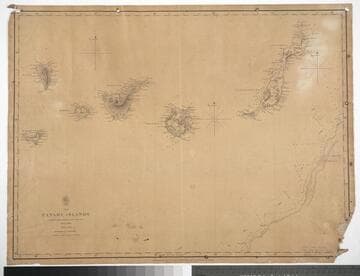
Kirkpatrick Catalogue entry: "2456 [Vidal, A. T. E. and W. Arlett.] The Canary Islands, surveyed ... 1834 & 1838. [London], Admiralty, Hydrographic Office, 1848. 1 sheet. [see cabinet]." Probably acquired while Burton was British consul at Fernando Po, from 1861 to 1864. MS notes: Burton (map cabinet) Vidan vand Arlett Canary 2456. Prime meridian: GM. Relief: hachures. Projection: Cylindrical. Printing Process: Lithography.
623630
Rare Books
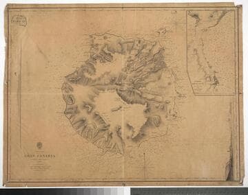
Kirkpatrick Catalogue entry: "2434 Arlett, W. Gran Canaria surveyed...1834. London, Admiralty, Hydrographic Office, 1848. 1 sheet. At head of title: Canary Islands. [see cabinet]."Probably acquired while Burton was British consul at Fernando Po, from 1861 to 1864. Submap: Puerto de la Luz 1834. Vignette: View of Puerto de la Luz. MS notes: Burton (map cabinet) Arlett 2434. Part of another map stuck to upper left corner.. Prime meridian: GM. Relief: hachures. Projection: Cylindrical. Printing Process: Lithography. Other Features: Sub-mapsVignettes.
623608
Rare Books
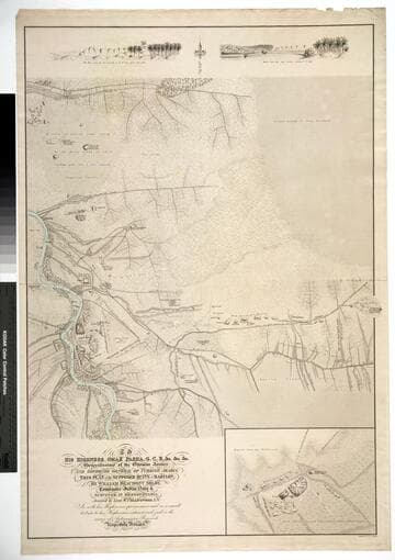
Kirkpatrick Catalogue entry: "2397 Selby, W. B. This plan of the supposed ruins of Babylon ... assisted by ... W. Collingwood ... [London?], J. & C. Walker, engraver, [1874?]. 1 sheet [see cabinet]. At head of title: His Highness Omar Pasha ... Generalissimo of the Ottoman Armies, and Governor General of Turkish Arabia."According to A catalogue of manuscript and printed reports, field books, memoirs, maps, etc. of the Indian Survey deposited in the map room of the India Office (1878), this dates to 1859 (page 494). Selby published his Memoirs on the ruins of Babylon, in 1859. Prime meridian: GM. Relief: hachures. Projection: Plane. Printing Process: Lithography. Verso Text: MS notes: Burton (map cabinet) Selby 2497.
623671
Rare Books
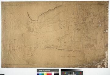
Kirkpatrick Catalogue entry: "2446 Medlycott, M. B. & T. H. Flood. Plan of creeks of river Congo. [London, c. 1870]. 1 sheet. [see cabinet]."Possible later versions of this map were published under the title "River Congo and adjacent creeks." Unable to confirm visually whether they are related, but they are also by Commander Medlycott. MS notes: Burton (map cabinet) Medlycott 2446. Prime meridian: GM. Relief: shaded. Graphic Scale: Miles. Projection: Plane. Printing Process: Lithography.
623620
Image not available
Rare Books
Kirkpatrick Catalogue entry: "2489 Great Britain. War Office. Intelligence Division. Map of the Pamirs and adjacent territory. London, Edward Stanford for the War Office, 1893. 1 sheet. [see cabinet]."Appeared in "Map of the country between Russian and Chinese Turkestan and British India. Compiled in the Intelligence Division, War Office, mainly from the Latest India Survey and Russian General Staff Maps under the Direction of Lt. Col. Y.C. Dalton."? MS notes: Burton (map cabinet) Great Britain War Office 2489.. Prime meridian: GM. Relief: hachures. Graphic Scale: Miles. Projection: Polyconic. Printing Process: Lithography.
623663