Opening Hours
Daily: 10 A.M.–5 P.M.
Closed on Tuesdays
1151 Oxford Road
San Marino, CA 91108
Daily: 10 A.M.–5 P.M.
Closed on Tuesdays
1151 Oxford Road
San Marino, CA 91108
Image not available
Rare Books
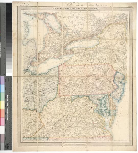
Alternate title from leather case. Submaps: Southern part of Florida; General map of the United States. Prime meridian: GM. Relief: hachures. Graphic Scale: Miles. Projection: Polyconic. Printing Process: Lithography.
92728

Rare Books
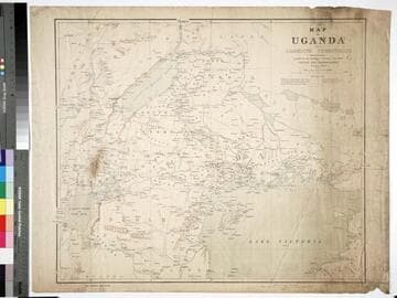
Kirkpatrick Catalogue entry: "2444 Macdonald, J.R.L. Map of Uganda and adjoining territories compiled for the Intelligence Division, War Office. London, Edward Stanford, 1895. 1 sheet. [see cabinet]." MS notes: Burton (map cabinet) Macdonald. Prime meridian: GM. Relief: shaded. Graphic Scale: Miles. Projection: Cylindrical. Printing Process: Lithography.
623618
Image not available
Rare Books
A map drawn after the battle of Bull Run by a Confederate printer showing the concentration of Confedarate forces in northern Virginia. Text below map describes distances within the area.. Relief: hachures. Graphic Scale: Miles. Projection: Cylindrical. Printing Process: Lithography. Verso Text: MS note: 151237.
151237
Image not available
Visual Materials
Kashnor dates [1861]. No fortifications around Washington. Heading with advertisement for Colton's maps. List of Generals of both Armies. Exports/ Imports for 1860. Advertisement for Colton's Maps.. Relief: hachures. Graphic Scale: Miles. Projection: Cylindrical. Printing Process: Lithography. Verso Text: MS note: 368.
105:368 M

Rare Books
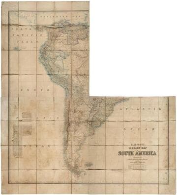
Kirkpatrick Catalogue entry: "2466 d h Johnston, A. K. Stanford's library map of South America. London, Edward Stanford, [1864]. 3 sheets. [see p.]."a 4th sheet is missing.Newspaper review clipping, from the Sunday Review, dated July 23, 1864, attached to southwest portion of map. Probably obtained while Burton was in South America between 1865 and 1868. Prime meridian: GM. Relief: hachures. Graphic Scale: Miles, kilometers, leagues. Projection: Polyconic. Printing Process: Lithography.
623640

Visual Materials
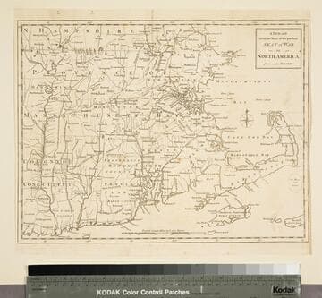
Kashnor notes, "A scarce map, issued during the early part of the Revolution." Kashnor dates c.1776. RLIN record places publication in London and appearance in Universal Magazine. MS note: 107 (on backing). Prime meridian: Ferro. Relief: pictorial. Graphic Scale: Miles. Projection: Cylindrical. Watermark: Two seals. Printing Process: Copper engraving.
105:107 S