Rare Books
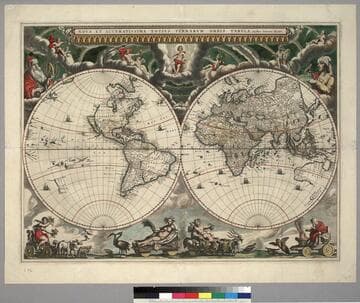
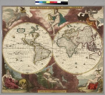
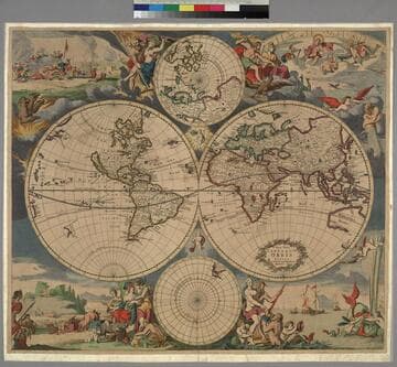
Nova & accuratissima totius terrarum orbis tabula nautica variationum magneticarum index juxta observationes anno. 1700 / habitas constructa per Edm. Halley
- Description
- Kashnor notes, "California appears as an island and New Guinea as a peninsula, while the following note appears in the Yellow Sea: 'The coast and Sease between Japan, Corea and Yedso are hitherto undiscovered, and it is not known whether Yedso be part of the continent or not.' At the foot is a letterpress, seems to be three sections pasted side by side, 'Description and Use of the New and Correct Sea-Chart of the whole World, shewing the variations of the Compass.' " This is the famous first map to show isogonal lines of compass variation. The cartouche in Africa is filled so this is a later edition. Cartouche: with figures, several sub cartouches. Submap: Polar view. Letterpress observations below neatline pasted on backing with map. Prime meridian: London. Relief: no. Projection: Mercator. Printing Process: Copper engraving. Verso Text: MS note: 981.
- Date
- [ca. 1730]
- Call number
- 446661