Rare Books
Rare Books
Daily: 10 A.M.–5 P.M.
Closed on Tuesdays
1151 Oxford Road
San Marino, CA 91108

Image not available
Visual Materials
North is to the right. Islands off the south coast of Newfoundland and under French control. Prime meridian: Paris. Relief: hachures. Graphic Scale: Leagues. Projection: Cylindrical. Watermark: Lettering device(?). Printing Process: Copper engraving. Other Features: Cartouche. Verso Text: MS note: 253.
093:253 M
Visual Materials
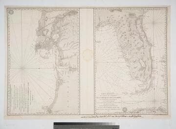
Two maps on one sheet. French script along lower border.. Prime meridian: Paris. Relief: hachures. Graphic Scale: Leagues. Projection: Cylindrical. Watermark: Crowned two-headed bird. Printing Process: Copper engraving. Verso Text: MS note: 99 M3.
105:099 M
Visual Materials
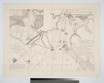
Kashnor notes, "A rare map of Charlestown Harbour, copied from the English war plan issued by Sayer in 1776. This was published for the use of French navigators during the Revolution." Submap of harbor entrance. Submap - Entrée de Charles-Town Par Dessan Cape des Vaissaux au Service d. M. Laffon de la Debat Ecuyer a Bordeaux en 1777. Dimension in marine leagues.. Relief: pictorial & hachures. Graphic Scale: Miles. Projection: Plane. Watermark: Cagne(?). Printing Process: Copper engraving. Other Features: Sub-maps.
105:074 M
Image not available
Visual Materials
Cartouche: framed. Vignette: View of the islands from the north.. Prime meridian: Paris. Relief: hachures. Graphic Scale: Leagues. Projection: Cylindrical. Watermark: Crowned two headed bird lettering. Printing Process: Copper engraving. Other Features: CartoucheVignettes. Verso Text: MS note: 766.
093:766 M
Visual Materials
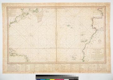
Kashnor notes, "Shows part of Newfoundland, Canada and New England, Haiti, Porto Rico and Leeward Isles." Table with latitude and longitude readings for coastal places.. Prime meridian: Paris. Relief: no. Graphic Scale: Leagues. Projection: Cylindrical. Printing Process: Copper engraving. Verso Text: Ms note: 712.
093:712 M
Image not available
Visual Materials
Kashnor notes, "Includes the Bahamas and a portion of Cuba." MS note in French, lower right. Submap of Mississippi delta. Cartouche: draped. Submap: Carte des Embouchures du Fleuve St. Louis. Seal of Depot de la Marine. MS notes: lower right (in French). Prime meridian: Paris. Relief: no. Graphic Scale: Leagues. Projection: Cylindrical. Watermark: Shield lettering. Printing Process: Copper engraving. Other Features: CartoucheSub-maps. Verso Text: MS note: 480 M2.
105:480 M