Opening Hours
Daily: 10 A.M.–5 P.M.
Closed on Tuesdays
1151 Oxford Road
San Marino, CA 91108
Visual Materials
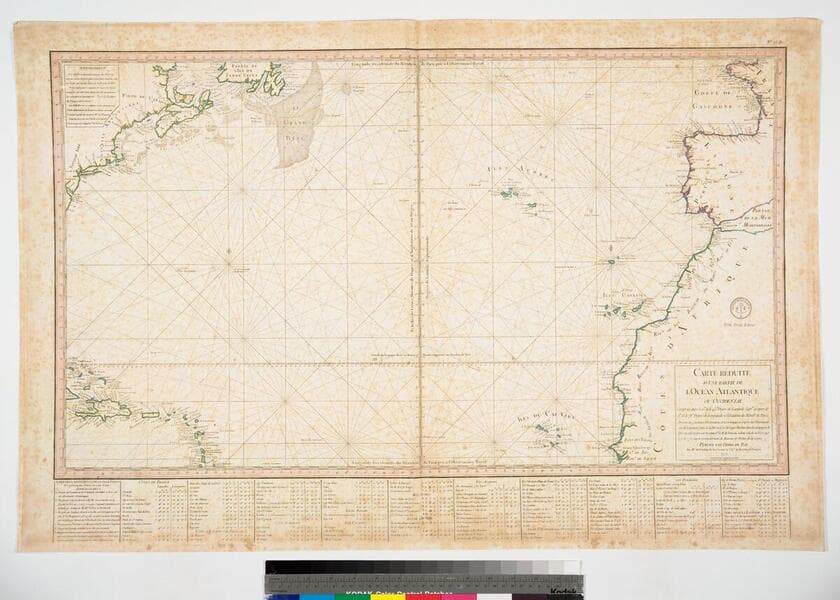
Daily: 10 A.M.–5 P.M.
Closed on Tuesdays
1151 Oxford Road
San Marino, CA 91108

Image not available
Visual Materials
Latitude and Longitude lines for Quebec marked. See 093:352 for an English version of this map which attributes the data to D'Anville. Kashnor dates this map at ca. 1760. See 105:682M for another copy. Kershaw dates as 1755. Relief: no. Graphic Scale: Leagues. Projection: Cylindrical. Watermark: Device - lettering. Printing Process: Copper engraving. References: Kershaw 625. Verso Text: MS note: 357.
093:357 M
Image not available
Visual Materials
Kashnor notes, "Issued during the early part of the troubles regarding the encroachments, and supplementary to D'Anville's fine map on three sheets." Duplicate of 093:357M. Latitude and Longitude lines for Quebec marked. See 093:352 for an English version of this map which also attributes the data to D'Anville. Kashnor dates this map at [1755]. Kershaw notes as 1755. Relief: no. Graphic Scale: Leagues. Projection: Cylindrical. Watermark: Device - lettering. Printing Process: Copper engraving. References: Kershaw 625. Verso Text: MS note: 682 37.
105:682 M
Image not available
Visual Materials
North is to the right. Islands off the south coast of Newfoundland and under French control. Prime meridian: Paris. Relief: hachures. Graphic Scale: Leagues. Projection: Cylindrical. Watermark: Lettering device(?). Printing Process: Copper engraving. Other Features: Cartouche. Verso Text: MS note: 253.
093:253 M
Image not available
Visual Materials
Submap: Isles Marianes ou Des Ladrons. Cartouche: decorative.. "Guill. Delahaye sculp." Prime meridian: Ferro. Relief: pictorial. Graphic Scale: Miles, leagues. Projection: Pseudocylindrical. Watermark: Five sided device lettering. Printing Process: Copper engraving. Other Features: Sub-mapsCartouche.
105:731 M
Image not available
Visual Materials
Kashnor notes, "According to the draughtsman the Popple map was not in the proper latitude." Actually, it is a longitude error Buache is referring to. Buache has a long history of designing similar maps to show up errors of other mapmakers and enhance his own position. His map is printed in blue as an overlay of the Popple map printed in red. An early dual printed map. MS note: 252. Prime meridian: Ferro. Relief: no. Projection: Mercator. Watermark: Lettering. Printing Process: Copper engraving. Verso Text: MS note: 252 CDO (?).
093:252 S
Visual Materials
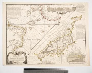
Kashnor notes, "with two inset diagrams, shewing marine depths." Submap of the Island of Fernando de Noronha (Braz.) Submap of Island of Fernando de Noronha. Underwater crossectionals of ocean floor and islands.. Prime meridian: Pairs. Relief: pictorial & hachures. Graphic Scale: Leagues. Projection: Cylindrical. Watermark: Seal lettering. Printing Process: Copper engraving. Other Features: Sub-mapsArt Work. Verso Text: MS notes: 09 158.
105:158 M