Opening Hours
Daily: 10 A.M.–5 P.M.
Closed on Tuesdays
1151 Oxford Road
San Marino, CA 91108
Daily: 10 A.M.–5 P.M.
Closed on Tuesdays
1151 Oxford Road
San Marino, CA 91108

Image not available
Visual Materials
Kashnor notes, "A very good copy of a very rare map. The map of Boston may have been taken from the Bonner Map of 1722, but it is probable that Southack made a new survey. It is the third printed plan of Boston." Kashnor dates as ca. 1740. McCorkle identifies this as a later edition of the 1735 original map. Submaps: Town of Boston in New England; Chart of the Atlantic Ocean showing the situation of Nova Scotia with respect to the British Isles.. Prime meridian: London. Relief: pictorial. Graphic Scale: Miles. Projection: Mercator. Watermark: Fleur-di-lis. Printing Process: Copper engraving. Other Features: Sub-maps. References: McCorkle 735.1. Verso Text: MS notes: 532 East end of Georges Bank from Cape St. Mary to SSW distance 115 miles..
105:532 M
Image not available
Visual Materials
Kashnor notes, "Excessively rare. The earliest known map of Boston Harbor, probably the work of John Seller. It locates Boston, with the old dock and fort, Sentenall Hill immeadiately behind the fort. Shows Charles Town and Winasemet to the north, Dorchesterneck to the south of Boston." Kashnor dates as ca. 1670. Relief: no. Graphic Scale: Miles. Projection: Plane. Printing Process: Copper engraving. Verso Text: MS note: 530 (on backing).
105:530 S
Image not available
Rare Books
Includes submap of Boston and Charlestown. Submap: Plan of Boston and Charlestown; from a drawing made in 1771. Mat sticker: 181. Prime meridian: London. Relief: no. Projection: Cylindrical. Printing Process: Copper engraving.
150042
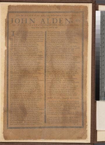
Rare Books
ESTC R39604 ; Signed at end: J.C., i.e. John Cotton;Verse - "The staff of bread, and water eke the stay," ; Imprint from Wing. However, actual date of publication may be 1714, as the copy held by the Boston Athenaeum is found bound in a volume of the Boston news-letters, 1711-1715, after the issue of 6 Dec. 1714. Other broadsides bound in the volume are positioned according to date of publication. See MHS Proceedings 41 (1908): 208
43269
![Seat of the War, in New England, by an American Volunteer [Submap]: Plan of the Town of Boston with the Attack on Bunkers-Hill in the Peninsula of Charlestown, the 17th. of June 1775. With the Marches of the Several Corps Sent by the Colonies. Towards Boston. with the Attack on Bunkers = Hill](/_next/image?url=https%3A%2F%2Frail.huntington.org%2FIIIF3%2FImage%2F22APN4KOYJI7%2Ffull%2F%5E360%2C%2F0%2Fdefault.jpg&w=750&q=75)
Visual Materials
Kashnor notes, "A very fine and rare war plan, with both imprints. The Bunker's Hill plan shows Charlestown in flames." Two submaps: Plan of Boston Harbour from an Actual Survey. Plan of the Town of Boston.... Prime meridian: London. Relief: hachures. Graphic Scale: Miles, English. Projection: Cylindrical. Watermark: Crowned fluer-di-lis (half). Printing Process: Copper engraving. Other Features: Sub-maps. References: McCorkle 775.1. Verso Text: MS note: 128.
093:128 M
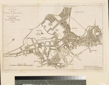
Visual Materials
Kashnor notes, "The fire referred to destroyed practically the whole of the central part of the city, between Cornhill and the harbour." MS note: 68 (on backing). Relief: pictorial. Graphic Scale: Miles. Projection: Plane. Printing Process: Copper engraving.
105:068 S