Manuscripts
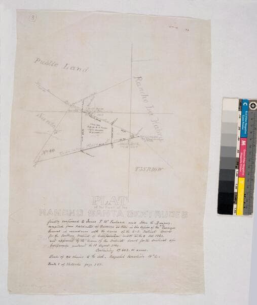
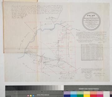
Plat of the Part of the Rancho Santa Gertrudes finally confirmed to James P. McFarland and John G. Downey
- Description
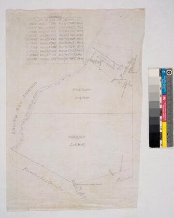
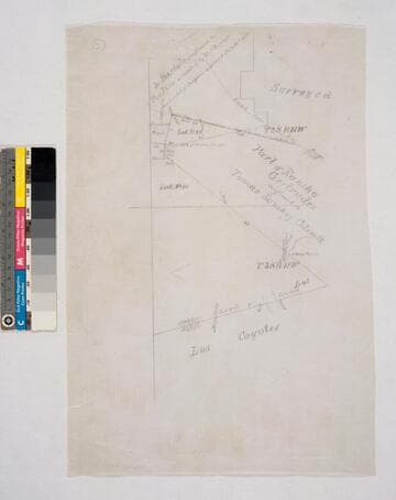
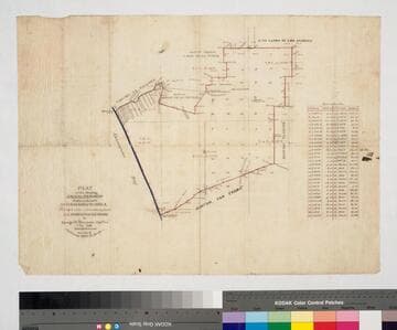
- Bordered by Ranchos San Antonio, Los Cerritos, Los Coyotes, La Habra and public lands. by decree of Aug. 13, 1869, with annotation of 1882... containing 17.602.01 acres. [Maps are numbered in upper left corner]. #1 inset with table of boundary data; shows San Gabriel River, San Jose Creek, now New San Gabriel River; show Rancho Paso de Bartolo confirmed to Pio Pico & Bernardino Guirado. #2 part of Gertrudes confirmed to Tomas Sanchez Colima; part of Paso de Bartolo. #3 parcels in black ink: 1 May 1882 S.G.L.A. to Dunlap & Tyler 500 acres
- Date
- 1882
- Call number
- mssSolano SR_Map_0251.01C

![Plat of the Rancho Los Cierritos [Cerritos] finally confirmed to Juan Temple](/_next/image?url=https%3A%2F%2Frail.huntington.org%2FIIIF3%2FImage%2F22APN4KPHI01%2Ffull%2F%5E360%2C%2F0%2Fdefault.jpg&w=750&q=75)