Opening Hours
Daily: 10 A.M.–5 P.M.
Closed on Tuesdays
1151 Oxford Road
San Marino, CA 91108
Manuscripts
Daily: 10 A.M.–5 P.M.
Closed on Tuesdays
1151 Oxford Road
San Marino, CA 91108

Manuscripts
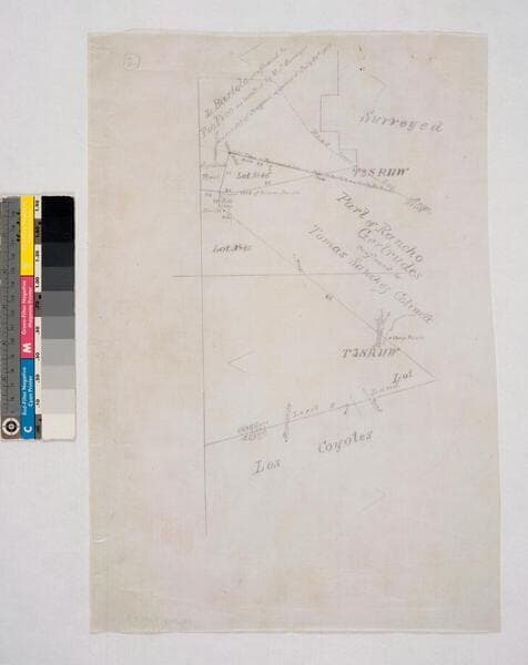
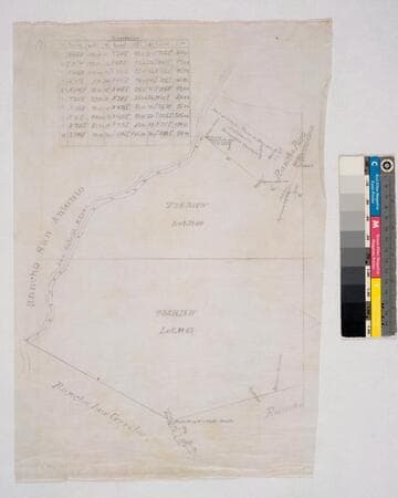
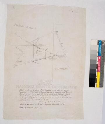
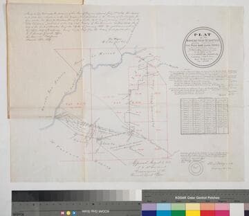
Bordered by Ranchos San Antonio, Los Cerritos, Los Coyotes, La Habra and public lands. by decree of Aug. 13, 1869, with annotation of 1882 . . . containing 17,602.01 acres. Maps are numbered in upper left corner. #1 inset with table of boundary data; shows San Gabriel River, San Jose Creek, now New San Gabriel River; shows Rancho Paso de Bartolo confirmed to Pio Pico & Bernardino Guirado. #2 part of Gertrudes confirmed to Tomas Sanchez Colima; part of Paso de Bartolo. #3 parcels in black ink: 1 May 1882 S.G.L.A. to Dunlap & Tyler 500 acres.
mssSolano SR_Map_0251.01A

Manuscripts
Bordered by Ranchos San Antonio, Los Cerritos, Los Coyotes, La Habra and public lands. by decree of Aug. 13, 1869, with annotation of 1882... containing 17.602.01 acres. [Maps are numbered in upper left corner]. #1 inset with table of boundary data; shows San Gabriel River, San Jose Creek, now New San Gabriel River; show Rancho Paso de Bartolo confirmed to Pio Pico & Bernardino Guirado. #2 part of Gertrudes confirmed to Tomas Sanchez Colima; part of Paso de Bartolo. #3 parcels in black ink: 1 May 1882 S.G.L.A. to Dunlap & Tyler 500 acres
mssSolano SR_Map_0251.01C

Manuscripts
Bordered by Shoalwater Bay, ranchos La Ballona, Cienega o Paso de la Tijera, Aguaje de la Centinela, San Pedro, Tajauta, public lands, and Los Angeles City lands. Finally confirmed to Antonio Ignacio Abila Containing 48750 02/100 Acres. Color highlighting, section numbers. Inset with table of boundary data.
mssSolano SR_Map_0260

Manuscripts
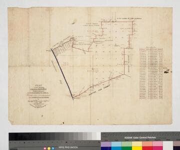
Bordered by Ranchos San Antonio, La Merced, La Puente, Santa Gertrudes; property of McFarland & Downey. Bound within document: "Field Notes and Map of the Rancho Paso de Bartolo..." (Hansen) Showing San Gabriel River, subdivided public lands, townships & section numbers, courses & distances, structures, surface details; with survey notes, table of boundaries, certification; colored inks. Alt. title supplied by cataloger.
mssSolano SR_Box_22(07).14
Image not available
Manuscripts
The collection consists of maps, field books, legal documents, business papers, and diaries related to the work of surveyors George Hansen, Alfred Solano, Sidney B. Reeve, and others. The maps and surveys in the collection are of the city of Los Angeles, Southern California ranchos, and subdivisions of the city of Los Angeles and neighboring towns. The collection contains over maps and sketch maps. Other subjects represented in the collection include: civil engineering, land subdivision, mines and mineral resources, and daily life in Los Angeles and Los Angeles County.

Manuscripts
Bordered by ranchos San Pedro, La Ballona, Aguaje de la Centinela; Shoalwater Bay & Public lands. Finally confirmed to Antonio Ignacio Abila Containing 35880 46/100 Acres. Inset with table of boundary data. color highlighting, minor topographical details. Similar to Map 258 minus the sections detail.
mssSolano SR_Map_0259
mssSolano