Opening Hours
Daily: 10 A.M.–5 P.M.
Closed on Tuesdays
1151 Oxford Road
San Marino, CA 91108
Daily: 10 A.M.–5 P.M.
Closed on Tuesdays
1151 Oxford Road
San Marino, CA 91108

Manuscripts
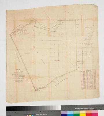
Bordered by ranchos San Pedro, La Ballona, Aguaje de la Centinela; Shoalwater Bay & Public lands. Finally confirmed to Antonio Ignacio Abila Containing 35880 46/100 Acres. Inset with table of boundary data. color highlighting, minor topographical details. Similar to Map 258 minus the sections detail.
mssSolano SR_Map_0259

Manuscripts
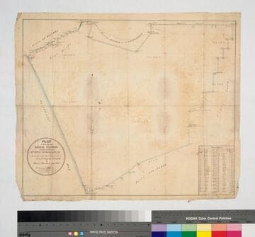
Bordered by ranchos San Pedro, La Ballona, Aguaje de la Centinela; Shoalwater Bay & Public lands. Finally confirmed to Antonio Ignacio Abila Containing 31,600 46/100 Acres. Numbered sections with bearings, distances, color highlighting, minor topographical details: portion of the Rancho called Guaspita. Inset with table of boundary data.
mssSolano SR_Map_0258

Manuscripts
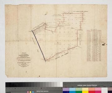
Bordered by Shoalwater Bay, ranchos La Ballona, Cienega o Paso de la Tijera, Aguaje de la Centinela, San Pedro, Tajauta, public lands, and Los Angeles City lands. Finally confirmed to Antonio Ignacio Abila Containing 48750 02/100 Acres. Color highlighting, section numbers. Inset with table of boundary data.
mssSolano SR_Map_0260

Manuscripts
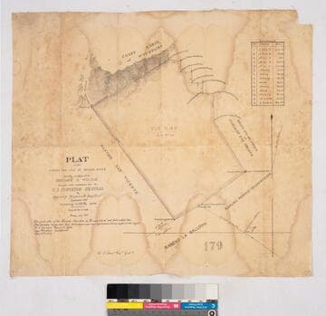
Bordered by Ranchos San Antonio or Rodeo de Las Aguas, Rincon de los Bueyes, La Ballona, San Vicente; coast range of mountains. T. 1S. R. 15W. Lot No. 38. Finally confirmed to Benjamin D. Wilson. Inset: table with boundary data; Var. 13° 30' East. Faded color highlighting; dense hachures. Field notes on file as of July 2nd, 1859
mssSolano SR_Map_0162

Manuscripts
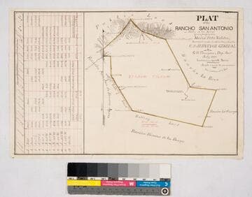
Bordered by Ranchos La Brea, San Jose de Buenos Ayres, Rincon de los Bueyes, La Cienega and public land. Hachures, land features, structures. Finally confirmed to Maria Rita Valdez. Table inset with courses, distances, acres.
mssSolano SR_Map_0132

Manuscripts
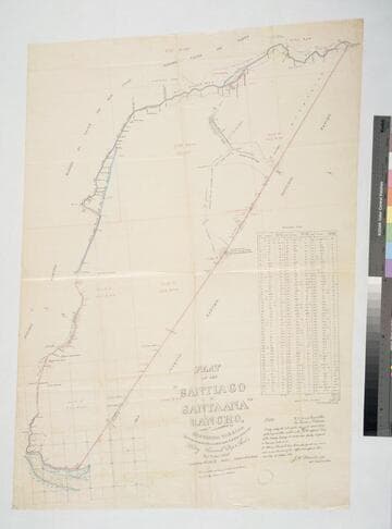
Bordered by ranchos El Cajon de San Juan, Cajon de Santa Ana, Bolsas, San Joaquin, and the Pacific Ocean. Original survey: 1857 Nov & Dec.; copy confirmed by J. W. Mandeville to Bernardo Yorba et al.. Inset with table of boundary data. Color highlights, detailed hachures, structures, water bodies including Santa Ana River, structures, rugged mountains.
mssSolano SR_Map_0254