Manuscripts
Rancho Huerta de Cuati: Stockton claim

You might also be interested in
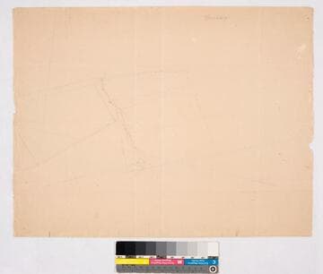
Rancho Huerta de Cuati: Dorsey
Manuscripts
structure & waterway indicated. Title supplied by cataloger.
mssSolano SR_Map_0082
Image not available
[Rancho Huerta de Cuati: Stockton claim]
Manuscripts
The collection consists of maps, field books, legal documents, business papers, and diaries related to the work of surveyors George Hansen, Alfred Solano, Sidney B. Reeve, and others. The maps and surveys in the collection are of the city of Los Angeles, Southern California ranchos, and subdivisions of the city of Los Angeles and neighboring towns. The collection contains over maps and sketch maps. Other subjects represented in the collection include: civil engineering, land subdivision, mines and mineral resources, and daily life in Los Angeles and Los Angeles County.
mssSolano

Rancho Santa Eulalia : see also Rancho San Rafael
Manuscripts
[Atwater Village area]. On penciled township grid with section numbers, irregular shape; boundary in color: "Sa. Eulalia Lanc. Brent.". T.1N.-T.1S. R.11W. S.B.M.. 656 acres; minor surface details. Fern Sepulveda structure indicated. Title supplied by cataloger.
mssSolano SR_Map_0249

Rancho La Ciénega showing parcels, surface features, & owners in portions of T.1S. R.14-15W., and T.2S. R.14W. S.B.M
Manuscripts
Rancho Ygnacio Machado - Aguaje de Centinela and Rancho Ballona indicated on map. Hachures, color highlights. Title supplied by cataloger.
mssSolano SR_Map_0043

Rancho Paso de Bartolo: southern half
Manuscripts
San Gabriel River on the west (?) side. Bordered by Rancho Santa Gertrudes. Var. 13° 30'. Case No. L.r. 77 stamp dated Jan. 29, 1917. Numerous landowners indicated including Pio Pico estate. Waterways in blue; hachures, land features. Title supplied by cataloger.
mssSolano SR_Map_0093.01

Rancho Niguel: sketch map of parcel in sec. 27 & 34, T.7S. R.8W. S.B.M
Manuscripts
Orange paper: dense hachures, structure, stake indicated; pencil calculations, annotations T.7S. R.8W. Title supplied by cataloger.
mssSolano SR_Map_0088