Manuscripts
Rancho Huerta de Cuati: Dorsey

You might also be interested in
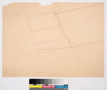
Rancho Huerta de Cuati: Stockton claim
Manuscripts
Waterways, structure indicated; slight color. Back of map: "Stockton Quati claim". Title supplied by cataloger.
mssSolano SR_Map_0084

Rancho los Felis : parcels of Anastacio Feliz, Edward Partridge, Jessie Hunter, and William Hunter, based on surveys of February 1879 - November 1885
Manuscripts
Var. 14° 45' East; Surveyed at the request of John Grant. Houses & fences, waterway indicated. Partridge property previously owned by Thomas Dunn & James Hunter. Title supplied by cataloger.
mssSolano SR_Map_0076

Rancho Niguel: sketch map of parcel in sec. 27 & 34, T.7S. R.8W. S.B.M
Manuscripts
Orange paper: dense hachures, structure, stake indicated; pencil calculations, annotations T.7S. R.8W. Title supplied by cataloger.
mssSolano SR_Map_0088

Rancho Santa Eulalia : see also Rancho San Rafael
Manuscripts
[Atwater Village area]. On penciled township grid with section numbers, irregular shape; boundary in color: "Sa. Eulalia Lanc. Brent.". T.1N.-T.1S. R.11W. S.B.M.. 656 acres; minor surface details. Fern Sepulveda structure indicated. Title supplied by cataloger.
mssSolano SR_Map_0249

Parcel division on north boundary of Rancho Rodeo de las Aguas with Rancho la Brea and public lands, sec. 18, T.1S. R.14W. S.B.M
Manuscripts
Coordinates & lines indicated; not much else. Title supplied by cataloger.
mssSolano SR_Map_0135.01

Rancho de los Felis: division-line.; Coronel and Lick properties
Manuscripts
T.1N. R.13W.; inset table with courses, bearings. Boundary landmarks indicated. Title supplied by cataloger.
mssSolano SR_Map_0069