Manuscripts
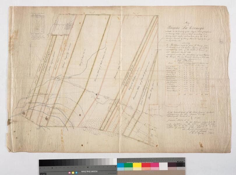
Map of the Rancho La Cienega
- Description
- 1858 partition. Partition map based on survey of Henry Hancock of Sep. 1858; Partition made by James F. Young, John G. Nichols and E. W. Squires, Referees of partition appointed by District Court Nov. 9, 1866. 2 insets: table of partitions, table of boundaries with distances. Color highlights, hachures, land features, waterways, residences. T.1 & 2 S. R.14W.
- Date
- 1866 December
- Call number
- mssSolano SR_Map_0044