Manuscripts
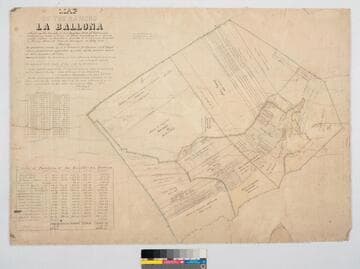
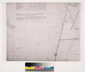
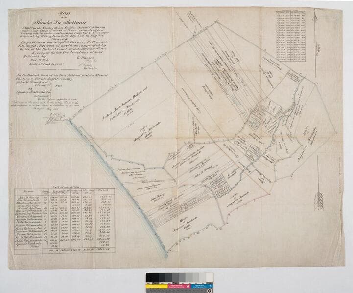
Map of the Rancho "La Ballona"
- Description
- Bordered by Pacific Ocean. Variation 14°15' E.. Ballona Partition containing 13919.90 acres according to survey made by under instructions from H. Hancock, July, 1858 showing partition made by J.J. Warner, H. Thomas & E. H. Boyd (signed by L. Seebold for Hansen). Machado (Young, Sanford, et al) family members are referenced on the partitions with acreage. Inset with table listing partitions, names & land data. Inset with table listing boundary coordinates & distances.
- Date
- 1868
- Call number
- mssSolano SR_Map_0012.02