Manuscripts
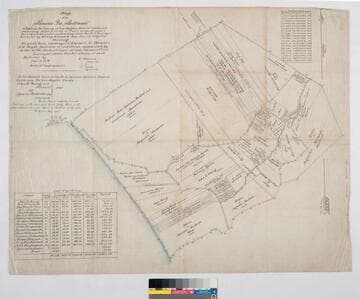
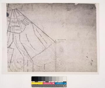
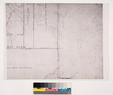
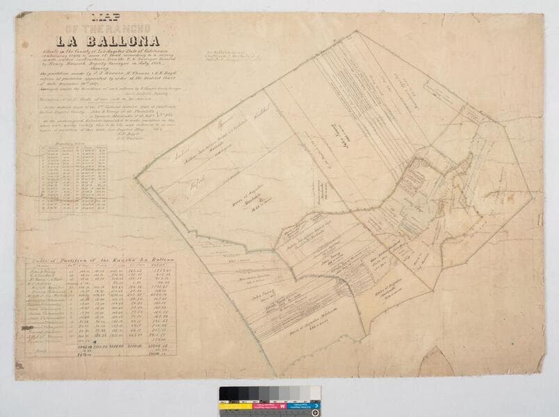
Map of the Rancho "La Ballona"
- Description
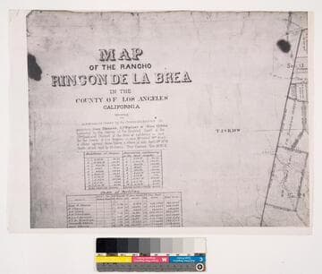
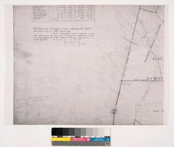
- Bordered by Pacific Ocean. Ballona Partition containing 13919.90 acres according to survey made by (L. Seebold for Hansen), under instructions from H. Hancock, July, 1858 showing partition made by J.J. Warner, H. Thomas & E. H. Boyd. Variation 14°15' E.. Inset with table listing partitions, names & land data. Inset with table listing boundary coordinates & distances. Machado (Young, Sanford, et al) family members are referenced on the partitions with acreage. "La Ballona Grant confirmee A. Machado, et al, patented December 8, 1873".
- Date
- undated
- Call number
- mssSolano SR_Map_0012.01