Manuscripts
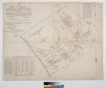
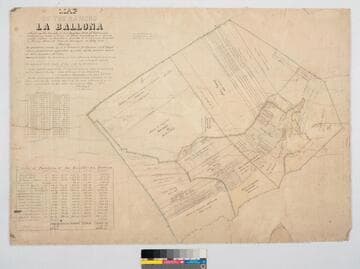
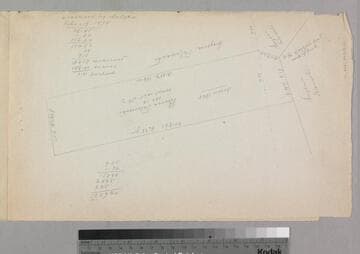
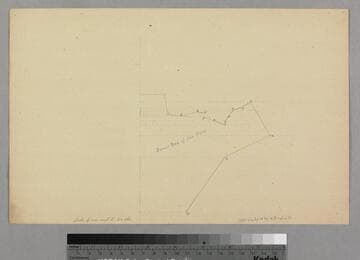
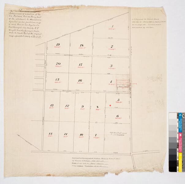
Map of Owen and Rimpau's Subdivision of a portion of the La Ballona Rancho
- Description
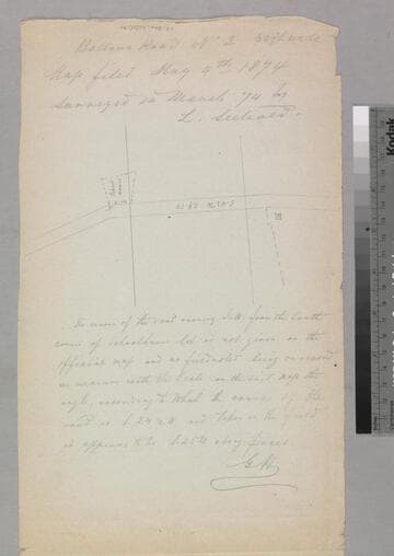
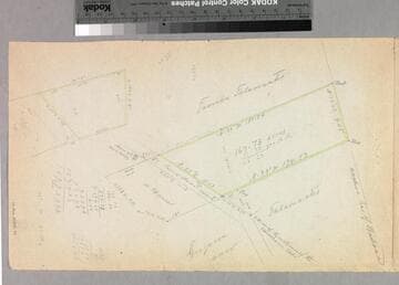
- Rancho La Ballona. Variation 14° 45' E. Being part of the allotment to Macedonio Aguilar as per partition map of said Ranch. Surveyed by E. T. Wright, County Surveyor, 1885. J. F. Figueroa to Francis Mora 1883 December 19; recorded in Book of Deeds No. 113, page 593 - 2.00 acre tract delineated by red lines. Red & black ink with pencil annotations. Map copied by G. Birdsall
- Date
- 1886 October 5
- Call number
- mssSolano SR_Map_0020