Visual Materials
C1.3 - Maps

You might also be interested in

C1.3 - Maps
Visual Materials
C1.3 - Maps - Contour map of proposed lower dam site - Shaver Lake.
photCL SCE 02 - 04865

C1.3 - Maps
Visual Materials
C1.3 - Maps - Map of the Big Creek and Shaver Lake area
photCL SCE 02 - 05118

C1.3 - Maps
Visual Materials
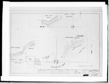
C1.3 - Maps - Distribution map of cabins, buildings and powerlines around a section of Huntington Lake.
photCL SCE 02 - 19061

C1.3 - Maps
Visual Materials
C1.3 - Maps - Distribution map of cabins, buildings and powerlines around a section of Huntington Lake.
photCL SCE 02 - 19062
C1.3 - Maps
Visual Materials
C1.3 - Maps - Distribution map of cabins, buildings and powerlines around a section of Huntington Lake.
photCL SCE 02 - 19063

C1.3 - Maps - Copy of Quad. map
Visual Materials
C1.3 - Maps - Copy of Quad. map - Huntington and Shaver Lakes section
photCL SCE 02 - 05930