Rare Books
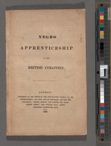
Negro apprenticeship in the British Colonies
1 of 110
Daily: 10 A.M.–5 P.M.
Closed on Tuesdays
1151 Oxford Road
San Marino, CA 91108

Image not available
Manuscripts
This report, done by Dr. Jeffries, was done for the city of Boston and is the result of testing done by the doctor in the public schools of Boston. This copy is incomplete and it ends mid-sentence on the 12th page. On the cover is a handwritten note: "Prof. John Tyndal [sic] with the Compliments of the Author."
mssHM 75952
Image not available
Rare Books
278710
Rare Books
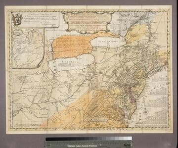
Evans 1755 map is now landscape and includes more westerly parts of North America. A submap extends the course of the Ohio River to the Mississippi. Evans notes Fry and Jefferson's map of Virginia and notes agreement of Longitudinal observations with Thomas Godfrey. The "Analysis" referred to is a 32 page quarto written by Evans and printed by B. Franklin and D. Hall at Philadelphia in 1755 describing the country and boundaries. This map normally accompanied that publication. A copy of the Analysis accompanies the maps in the same folder, along with a copy of Pownall's 1776 "Topographical Description of North America." Submap: A sketch of the Remaining part of the Ohio R., &c. MS note: 18213. Prime meridian: London, Philadelphia. Relief: pictorial. Graphic Scale: Miles. Projection: Pseudocylindrical. Printing Process: Copper engraving. Verso Text: Stamped: II. MS notes: Shelve with #18212 Evans, Lewis ; #18213.
18213
![[Collection of minor publications]](/_next/image?url=https%3A%2F%2Frail.huntington.org%2FIIIF3%2FImage%2F22APN4Y31ZOS%2Ffull%2F%5E360%2C%2F0%2Fdefault.jpg&w=750&q=75)