Opening Hours
Daily: 10 A.M.–5 P.M.
Closed on Tuesdays
1151 Oxford Road
San Marino, CA 91108
Visual Materials
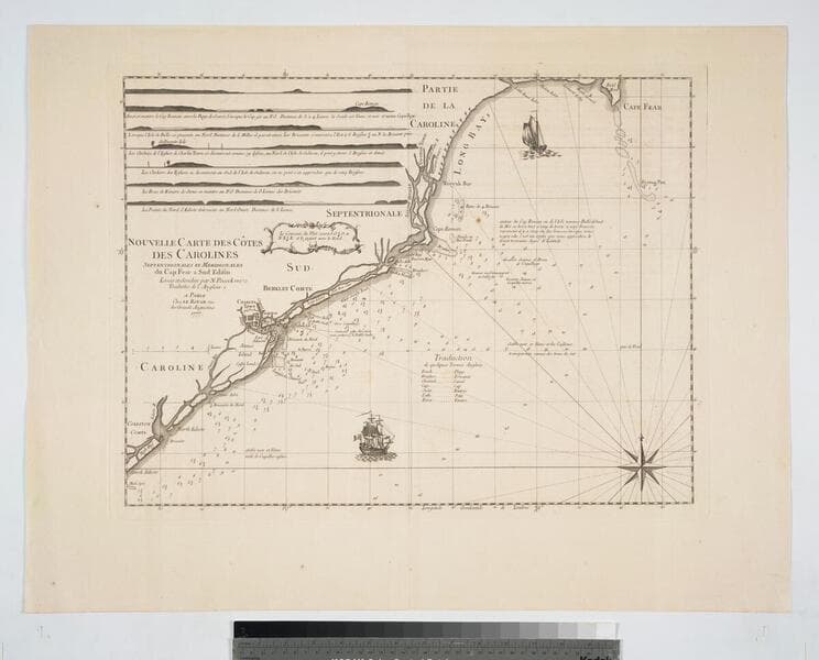
Daily: 10 A.M.–5 P.M.
Closed on Tuesdays
1151 Oxford Road
San Marino, CA 91108

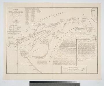
Visual Materials
Kashnor notes, "A scarce chart issued for the use of the commanders of French ships-of-war and transports during the Revolution." Details sailing directions to port of Philadelphia. Relief: no. Graphic Scale: Miles, English, leagues, marine. Projection: Plane. Watermark: Chained Maltese cross lettering. Printing Process: Copper engraving.
105:089 M
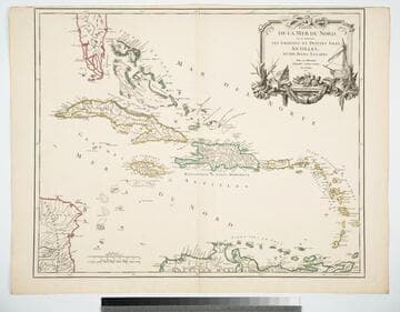
Visual Materials
Cartouche: Ships & shells.. "Guill. Delahaye Sculpsit." Prime meridian: Ferro. Relief: pictorial. Graphic Scale: Leagues, miles. Projection: Cylindrical. Watermark: Chained maltese cross lettering. Printing Process: Copper engraving. Other Features: Cartouche. Verso Text: MS notes: 969 Islers Antilles 107.
105:969 M
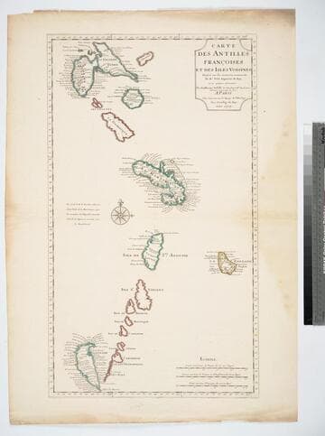
Visual Materials
See 093:721 for another copy, 105:471 for later copy. "Dresée sur les memoires manuscrits De. Mr. Petit Ingenieur du Roy, et sur quelque observations." Prime meridian: Ferro. Relief: pictorial. Graphic Scale: Leagues. Projection: Cylindrical. Watermark: Chained maltese croos lettering. Printing Process: Copper engraving. Verso Text: MS note: 945.
105:945 M
Visual Materials
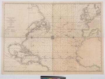
Kashnor notes, "a scarce map [after Jefferys] issued for the use of the French allies during the Revolution." One map in two sheets. Navigational notes, compass variations, various voyages. Author and appeared in references from RLIN record [this record for upper section] Three compass roses. . Prime meridian: London, Ferro. Relief: no. Graphic Scale: Leagues, Marine. Projection: Mercator. Watermark: Chained Maltese Cross Dupys Moyen(?). Printing Process: Copper engraving. Verso Text: MS notes : 34 (upper) 56 (lower) 63.
105:063 M
![Carte de la Floride Occidentale et Louisiane - La Peninsule at Golfe de la Floride ou Canal de Bahama avec les Isles de Bahama [two maps in one]](/_next/image?url=https%3A%2F%2Frail.huntington.org%2FIIIF3%2FImage%2F22APN4KVPDMF%2Ffull%2F%5E360%2C%2F0%2Fdefault.jpg&w=750&q=75)
Visual Materials
Kashnor notes, "Copied from Jefferys' fine chart, the best chart of the time for navigators to Florida and the Mississippi. This was issued for the use of French allies during the Revolution." Appeared in reference from RLIN record. Compass rose. Ships on two routes.. Prime meridian: London, Ferro. Relief: pictorial. Graphic Scale: No. Projection: Mercator. Watermark: Chained Maltese cross lettering. Printing Process: Copper engraving. Other Features: Art Work. Verso Text: MS notes: 28 29 98.
105:098 M
Visual Materials
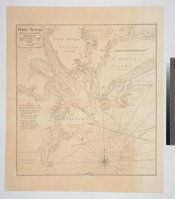
Kashnor notes, "An exceedingly rare chart, taken from the original English chart, which is also exceedingly rare. This was issued for the use of the commanders of French Ships-of-War and Transports during the Revolution." Relief: no. Graphic Scale: Miles. Projection: Plane. Watermark: Chained Maltese cross lettering. Printing Process: Copper engraving. Verso Text: MS notes: 82 23.
105:082 M