Opening Hours
Daily: 10 A.M.–5 P.M.
Closed on Tuesdays
1151 Oxford Road
San Marino, CA 91108
Visual Materials
Daily: 10 A.M.–5 P.M.
Closed on Tuesdays
1151 Oxford Road
San Marino, CA 91108

Rare Books
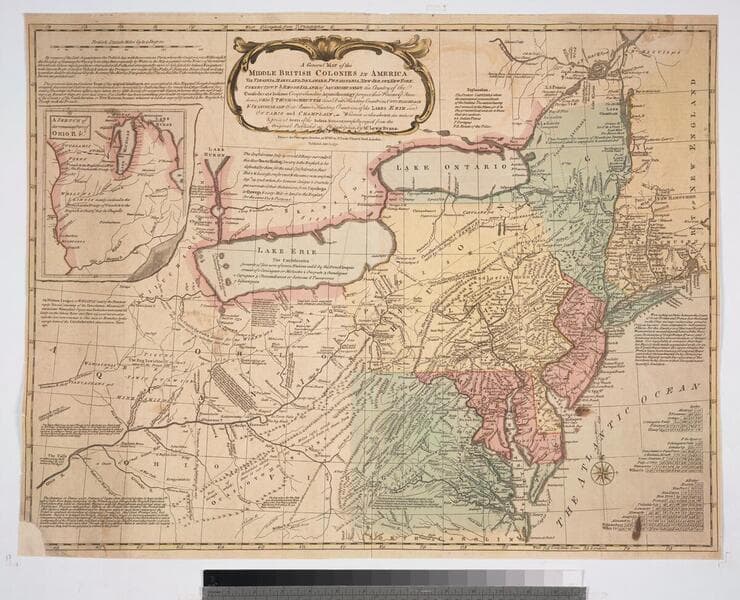
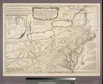
Lots of explanatory notes scattered across the map. McCorkle describes this as a Kitchin piracy of the Evans map of 1755. Huntington has multiple editions of this map in its holdings. Prime meridian: London, Philadelphia. Relief: pictorial. Graphic Scale: Miles. Projection: Polyconic. Printing Process: Copper engraving. Verso Text: MS note: Middle British Colonies No. 9. References: McCorkle map 756.4.
480577

Rare Books
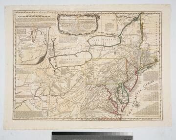
This map is the same as 18218 with alteration of the imprint and exact dating. The second 1771 issue is map 18220, bearing some alterations explained there. Submap: A sketch of the Remaining part of the Ohio R., &c. MS note: 18219. Prime meridian: London, Philadelphia. Relief: pictorial. Graphic Scale: Miles. Projection: Pseudocylindrical. Printing Process: Copper engraving. Verso Text: Stamped: VIII. MS notes: Shelve with #18212 Evans, Lewis ; #18219.
18219

Rare Books
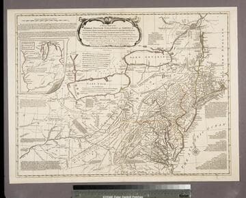
This is a reissue of the Jefferys map of 1758, Huntington 18217. Note the date of publication has been changed to 1775, otherwise identical. Submap: A sketch of the Remaining part of the Ohio R., &c. MS note: 18221. Prime meridian: London, Philadelphia. Relief: pictorial. Graphic Scale: Miles. Projection: Pseudocylindrical. Printing Process: Copper engraving. Verso Text: Stamped: X. MS notes: Shelve with #18212 Evans, Lewis ; #18221.
18221

Rare Books
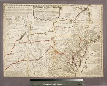
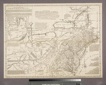
This is a copy of the Kitchin map of 1756 with Kitchin's name altered to that of Jefferys, hence a plagairism of a plagairism of Evans map. Jefferys has added several new forts and has changed Kitchin's "F. du Quesne" to "Ft. du Quesne, Destroy'd in 1758 now called Pittsburg." Pownall in his later discussion thought this variant was first done by Thomas Jefferys. Submap: A sketch of the Remaining part of the Ohio R., &c. MS note: 18215. Prime meridian: London, Philadelphia. Relief: pictorial. Graphic Scale: Miles. Projection: Pseudocylindrical. Printing Process: Copper engraving. Verso Text: Stamped: IV. MS notes: Shelve with #18212 Evans, Lewis ; #18215.
18215

Rare Books
This is an anonymous copy of the Jefferys map of 1758, completely re-engraved. The scale is slightly different and the cartouche lacks a decorative border. Stevens surmises this may have been a proof copy of a map to be issued by Thomas Bowles or John Bowles but held until peace negotiations were completed. The map was later issued ca. 1765 by John Bowles and Carington Bowles, see 18218. Submap: A sketch of the Remaining part of the Ohio R., &c. MS note: 18216. Prime meridian: London, Philadelphia. Relief: pictorial. Graphic Scale: Miles. Projection: Pseudocylindrical. Printing Process: Copper engraving. Verso Text: Stamped: V. MS notes: Shelve with #18212 Evans, Lewis ; #18216 ; (pirated issue, ca. 1760).
18216

Rare Books
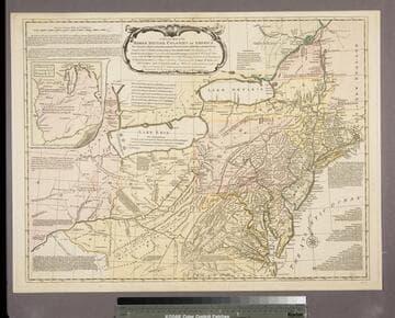
Map 18216 is an anonymous copy printed about 1760. That plate has now been modified by the inclusion of a border around the title, the elimination of New France from the title and map face and the addition of John and Carinton Bowles names just below the title. This adds credence to Stevens' thought that 18216 is a proof copy, never issued until this plate was completed. Carington Bowles apparently succeeded his uncle Thomas Bowles in 1764 or 1765. Submap: A sketch of the Remaining part of the Ohio R., &c. MS note: 18218. Prime meridian: London, Philadelphia. Relief: pictorial. Graphic Scale: Miles. Projection: Pseudocylindrical. Printing Process: Copper engraving. Verso Text: Stamped: VII. MS notes: Shelve with #18212 Evans, Lewis ; #18218.
18218