Opening Hours
Daily: 10 A.M.–5 P.M.
Closed on Tuesdays
1151 Oxford Road
San Marino, CA 91108
Visual Materials
Daily: 10 A.M.–5 P.M.
Closed on Tuesdays
1151 Oxford Road
San Marino, CA 91108

Visual Materials
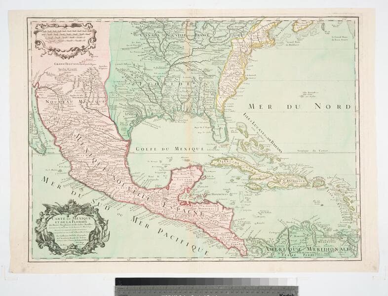
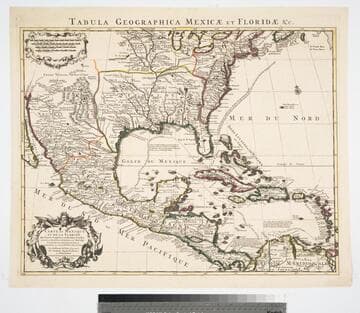
This map is a later rework of the L'Lsle 1703 map, see 093-464M. Sea routes have been added. Re-engraving by Stemmers. Cartouche with natives. . Prime meridian: Ferro. Relief: pictorial. Graphic Scale: Miles, leagues. Projection: Pseudocylindrical. Printing Process: Copper engraving. Other Features: Cartouche. References: Cumming 137; Wheat 84; Tooley (Amer.) p.23; Schwartz pl.82; Wagner 474.. Verso Text: MS note: 93-465.
093:465 M
Image not available
Visual Materials
Kashnor notes, "Shows New Mexico, and locates Santa Fe, Taos, and other towns. The course of the Missouri reaches above the junction of the R. de Panis, and Checagou is located on Lac de Illinois." Florida extends west to cover Texas, and north to include Kentucky. Cartouche with natives.. Prime meridian: Ferro. Relief: pictorial. Graphic Scale: Miles, leagues. Projection: Pseudocylindrical. Watermark: Chained Maltese cross. Printing Process: Copper engraving. Other Features: Cartouche. Verso Text: MS note: 93-399 27.
093:399 M
Image not available
Visual Materials
This is Buache's copy of Visscher's map, see 093:632. See also 093:633, 093:634 for other versions. Cartouche: Figures.. Prime meridian: Ferro. Relief: pictorial. Graphic Scale: Leagues. Projection: Pseudocylindrical. Watermark: Circled device lettering. Printing Process: Copper engraving. Other Features: Cartouche. Verso Text: MS note: 633 3J.
093:635 M
Image not available
Visual Materials
Kashnor notes, "Locates the borders of La Plata, Uruguay, and Paraguay." This is a copy of Visscher's map, see 093:632. See also 093:634, 093:635 for other versions. RLIN record suggests print date is actually 1718. Cartouche: Figures.. Prime meridian: Ferro. Relief: pictorial. Graphic Scale: Leagues. Projection: Pseudocylindrical. Watermark: Chained maltese cross lettering. Printing Process: Copper engraving. Other Features: Cartouche. Verso Text: MS note: 633 3J.
093:633 M
Image not available
Visual Materials
Kashnor notes, "A good map of the Illinois country, and the present-day Wisconsin and Michigan territory." Cartouche: vined. Prime meridian: Ferro. Relief: pictorial. Graphic Scale: Leagues. Projection: Cylindrical. Watermark: LK device. Printing Process: Copper engraving. Other Features: Cartouche. Verso Text: MS note: 601.
093:601 M
Image not available
Visual Materials
This is a copy of Visscher's map, see 093:632. See also 093:633, 093:635 for other versions. Alt. title from head of page. Kashnor dates as ca. 1720. See also 105:924 for another copy. Cartouche: Figures. Prime meridian: Ferro. Relief: pictorial. Graphic Scale: Leagues. Projection: Pseudocylindrical. Printing Process: Copper engraving. Verso Text: MS note: 633 3J.
093:634 M