Opening Hours
Daily: 10 A.M.–5 P.M.
Closed on Tuesdays
1151 Oxford Road
San Marino, CA 91108
Visual Materials
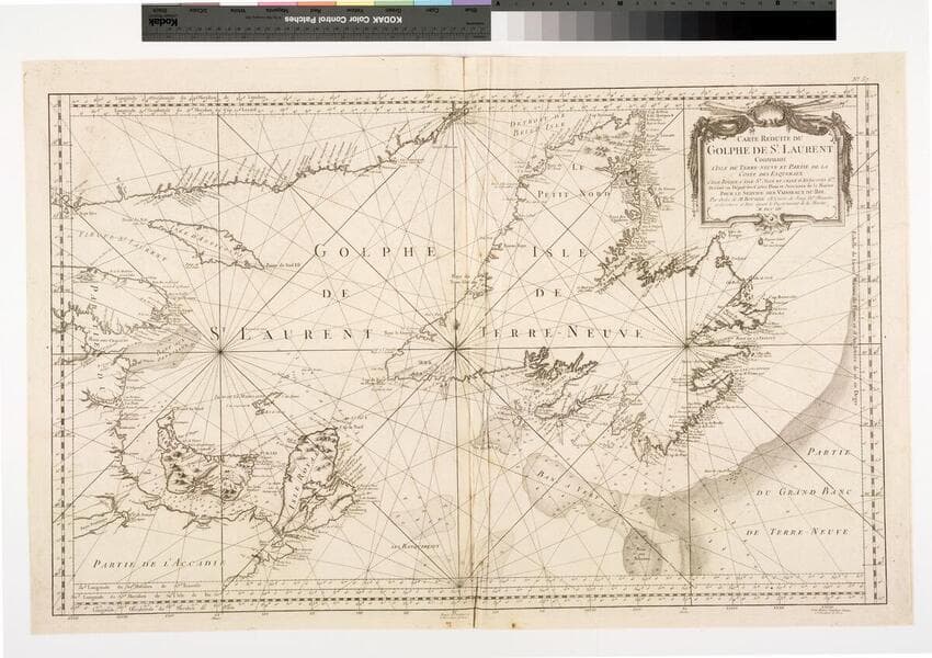
Daily: 10 A.M.–5 P.M.
Closed on Tuesdays
1151 Oxford Road
San Marino, CA 91108

Image not available
Visual Materials
Kashnor identifies Paris as production place. Submap of Boston Harbor. Submap: Plan du Havre de Baston.. Prime meridian: Paris, London, Lizard, Teneriffe, Fer. Relief: pictorial & hachures. Graphic Scale: Leagues. Projection: Mercator. Watermark: Lettering. Printing Process: Copper engraving. Other Features: Sub-maps. Verso Text: MS note: 454.
093:454 M
Image not available
Visual Materials
Kashnor notes, " Bellin states that the chart is for the use of whalers, and that he has taken it partly from Captain Feykes' chart, and from his own chart of the northern Seas, issued in 1751. It has the soundings around Disco Bay, and shows the opposite coast, from Capes Walshingham, Dyers and Bedford." Prime meridian: Paris. Relief: pictorial. Projection: Mercator. Watermark: Crowned two headed bird. Printing Process: Copper engraving. Other Features: Cartouche. Verso Text: MS note: 234.
093:234 M
Visual Materials
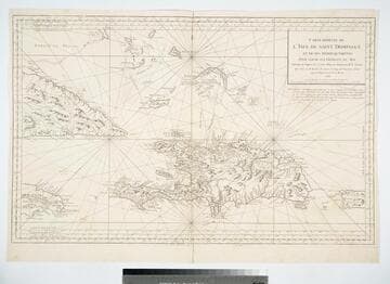
Prime meridian: Paris, London, Lizard, Tenerife, Ferro. Relief: pictorial. Graphic Scale: Leagues. Projection: Cylindrical. Watermark: Lettering double headed eagle. Printing Process: Copper engraving. Verso Text: MS note: 416.
105:416 M
Image not available
Visual Materials
Kashnor notes the cartouche contains a view of Louisburg on Cape Breton Island under attack. Several submaps. Later English copy of Bellin's map. Kashnor dates as ca. 1758. Kershaw suggests 1746 as publication date. McCorkle agrees. Submaps: Atlantic Ocean; Plan of the City and Port of Louisbourg [Cape Breton Island];Fort Dauphin; Quebec City. Cartouche with battle scene. MS note: 290 (on backing).. Prime meridian: London. Projection: Mercator. Printing Process: Copper engraving. Other Features: Sub-maps. References: Kershaw 692; McCorkle 746.1. Verso Text: MS note: 290 (on backing)..
093:290 M
Image not available
Visual Materials
Two maps on one sheet. Sailing chart. Kashnor states Paris as production site. Kershaw identifies this as the first state of Bellin's map and gives appeared in information. Three cartouches. Vignette: Vue de Terres du Sud pour passer la Traverse en remontant le Fleuve.. Relief: pictorial & hachures. Graphic Scale: Leagues. Projection: Plane. Watermark: Crowned birds J. Sauvade au Veron. Printing Process: Copper engraving. Other Features: CartoucheVignettesSub-maps. References: Kershaw 650. Verso Text: MS note: 354.
093:354 M
Visual Materials
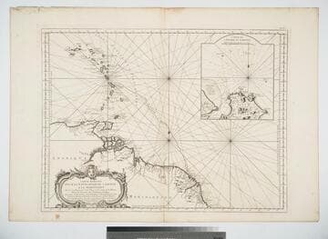
Inset map of Cayenne Harbor, French Guiana. Cartouche: shell and flowers. Submap: Carte de l'Entrée de Cayenne.. Prime meridian: Paris. Relief: pictorial. Graphic Scale: Leagues. Projection: Mercator. Watermark: Leaf-heart device lettering. Printing Process: Copper engraving. Other Features: CartoucheSub-maps. Verso Text: MS note: 472 .
105:472 M