Rare Books
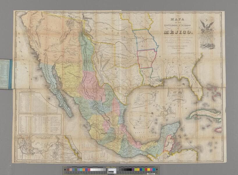
Mapa de los Estados Unidos de Mejico : segun lo organizado y definido por las varias actas del Congreso de dicha Republica y construido por los mejores autoridades
1 of 4
- Description
- Alt. title from cover. The treaty map used to settle the border after the Mexican American War. Insets: Table de distancias; Table estadística; Carta de los caminos &c desde Vera Cruz y Alvarado a Méjico; Map showing the battle grounds of the 8th and 9th May 1846, by J.H. Eaton ...; Plan of Monterey and its environs; Chart of the bay of Vera Cruz ...; Tampico and its environs; Profile of the route between Mexico and Vera Cruz; Profile of the route between Mexico and Acapulco. Area covered includes the southwestern part of the present United States. Submaps: Battle ground of May 8 & 9, 1846; Paln of Monterey and its environs; Tampico and its Environs; Chart of the Bay of Vera Cruz drawn by order of V. Admiral Bandin; Catra de los Caminos &c. desde Vera Cruz y Alvarado A Mejico. Tabla de Distancoas. Tabla Estadistica. Profile of the route between Mexico and Vera Cruz. Profile of the route between Mexico and Acapulco. Cartouche: Mexican Eagle rising. Prime meridian: Washington. Relief: hachures. Graphic Scale: Miles. Projection: Polyconic. Printing Process: Lithography.
- Date
- 1847
- Call number
- 28635
- Dimensions
- 75 x 104 cm
