
Opening Hours
Daily: 10 A.M.–5 P.M.
Closed on Tuesdays
1151 Oxford Road
San Marino, CA 91108
Daily: 10 A.M.–5 P.M.
Closed on Tuesdays
1151 Oxford Road
San Marino, CA 91108

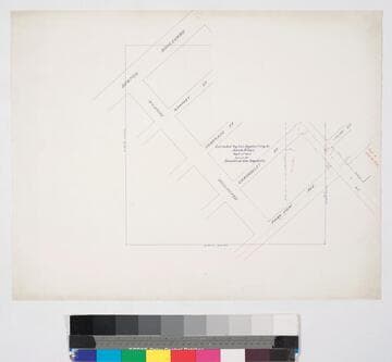
Manuscripts
Blocks 25 & 26, Hancock's Survey, to Jacob Elias and to Dryden, Henderson & Irwin, 1854, showing some surface detail; courses, distances. Title supplied by cataloger.
mssSolano SR_Map_0620A
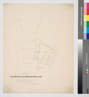
Manuscripts
Stevenson Ave. to Seventh St. west of Boyle Ave., Block 58, Hancock's Survey, with color highlighting, courses, distances, structures, parcel owners; also showing surrounding parcels in Blocks 58 & 59, Hancock's Survey. Paper watermark: Royal Linen Ledger.
mssSolano SR_Map_0678.01
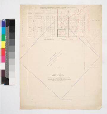
Manuscripts
Lots 1 & 2 Block 25, Lot 7 Block 26, Hancock's Survey, with subdivisions (Knob Hill Tract) of area from Ward St. to Chambers & Ocean View Ave., Cliff (Irwin) to Gilbert St.. Color highlighting; numbered lots, courses & distances. Alt title supplied by cataloger.
mssSolano SR_Map_0674
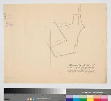
Manuscripts
Blocks 58 & 59, Hancock's Survey, showing surface detail: hachures, color & pencil annotations, calculations. Courses & distances; structures. At the request of Mrs. J.E. Hollenbeck. Alt title supplied by cataloger.
mssSolano SR_Map_0661.01
Manuscripts
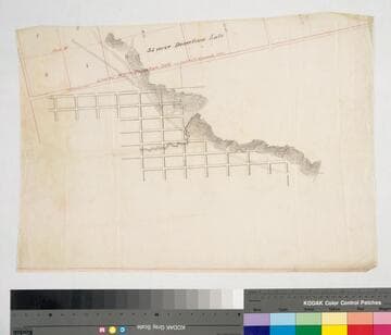
Featuring part of Ord's Survey and Blocks 36-39, Hancock's Survey, with surface detail: dense hachures, line of Donation Lots in red, waterway, roads & streets. Appears to be traced from Ord's 1849 Plan of the City of Los Angeles and Hancock's 1857 map of the confirmed limits of Los Angeles. Title supplied by cataloger.
mssSolano SR_Map_0339
Manuscripts
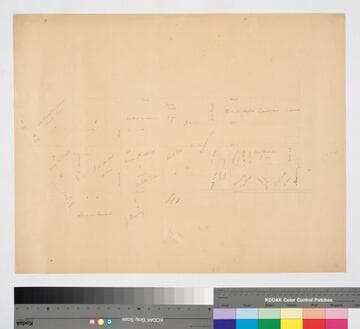
Blocks 25, 37, and parts of 24 and 36, Hancock's Survey, showing parcel owners & acreage. Title supplied by cataloger.
mssSolano SR_Map_0594