Manuscripts
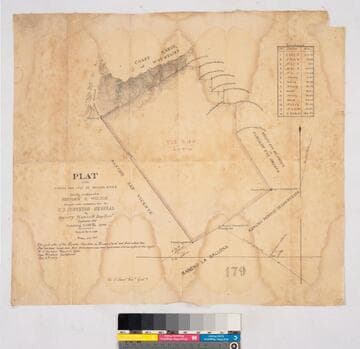
Ranchos San José de Gracia de Simí and San Francisco, external boundaries

- Description
- Western boundary: ranchos Calleguas and Las Posas; ranchos Las Virgines and El Conejo to the south. Parcel owners, hachures, structures, topographic details. "Note: the original map was destroyed by fire on Simi Ranch. Report of Henry Stevenson, surveyor . . ." [followed by date, possibly 1912 or 1902]. Number on verso: 2074. Title supplied by cataloger.
- Date
- undated
- Call number
- mssSolano SR_Map_0264