Manuscripts
Manuscripts
Daily: 10 A.M.–5 P.M.
Closed on Tuesdays
1151 Oxford Road
San Marino, CA 91108

Image not available
Manuscripts
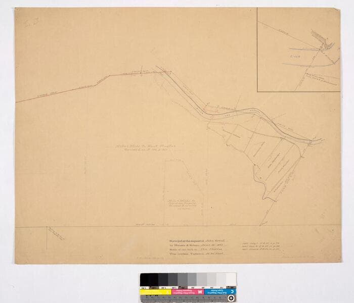
[Rancho los Felis: Wilson, Feliz, Partridge, Hunter, and Mills & Wicks properties, with inset of stake 2, all based on surveys of 1882-1885] [southeast corner of Rancho los Felis]
mssSolano
Image not available
Manuscripts
Within letter to James Lick, San Francisco, verso of first page with hachures indicating Hills of the Felis Rancho, River Los Angeles. Title supplied by cataloger.
mssSolano SR_Box_21(08).01
Manuscripts
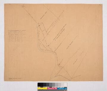
Var. 14° 45' East; Surveyed at the request of John Grant. Houses & fences, waterway indicated. Partridge property previously owned by Thomas Dunn & James Hunter. Title supplied by cataloger.
mssSolano SR_Map_0076
Image not available
Manuscripts
4 of the maps are labeled Potrero of the Rancho Los Felis but reference different pages from the field book (27, 29, 31, 34), some with color highlighting, courses, distances, stations, showing Los Angeles canal, reseroir ditch; the fifth map: "El Potrero or irrgable flat of the Rancho Los Feliz... showing that part which is disevident in a deed [Baldwins]. Title supplied by cataloger.
mssSolano SR_Box_21(09).08
Manuscripts
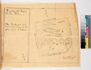
Traced copy of diseño map certified by Lauren Upson; part of ribbon-bound dossier "Poseción del Rancho de los Felis" dated 1843. Color highlights, landscape features: Laguna del Potrero, sierra, trees, hills. Borders (linderos): Arrastradero, rio del pueblo, del aguaje, de la breyeta.
mssSolano SR_Map_0062A
![Plat of the Rancho Los Cierritos [Cerritos] finally confirmed to Juan Temple](/_next/image?url=https%3A%2F%2Frail.huntington.org%2FIIIF3%2FImage%2F22APN4KPHI01%2Ffull%2F%5E360%2C%2F0%2Fdefault.jpg&w=750&q=75)
Manuscripts
Bordered by Ranchos Los Alamitos, San Pedro, Los Coyotes, Santa Gertrudes; Pacific Ocean. Inset with extensive table of boundaries. Color highlights; hachures; San Gabriel River; Juan Temple's house indicated, 22194 35/100 acres. Var. 13° 30' E.
mssSolano SR_Map_0037