Visual Materials
Visual Materials
Daily: 10 A.M.–5 P.M.
Closed on Tuesdays
1151 Oxford Road
San Marino, CA 91108

Visual Materials
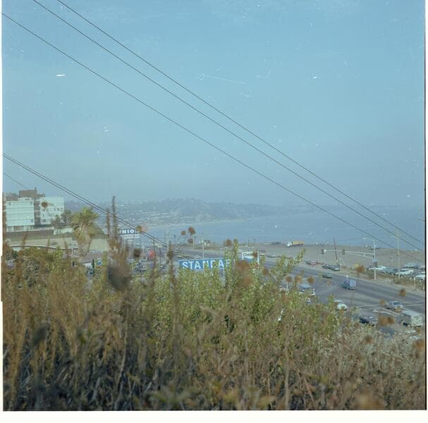
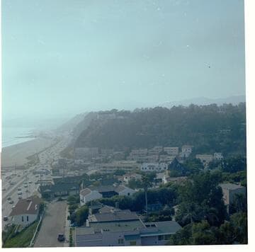
Image from the bluff looking north toward the intersections of Pacific Coast Highway with Entrada Drive and, a block north, with Channel Road and Chautauqua Boulevard in Santa Monica, California. With houses visible at right, automobiles on the Pacific Coast Highway and the beach at left. A Chevron Standard gasoline station can be seen near the intersection of Entrada Drive and a sign for "Gladstones 4 Fish" a block beyond.
photCL_555_06_2600
Visual Materials
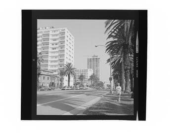
Image of a girl walking along Ocean Avenue with tall buildings in the background near the intersection of Wilshire Boulevard in Santa Monica, California, including the 100 Wilshire office building with a crane on its roof.
photCL_555_06_2629
Visual Materials
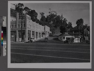
Image of a few automobiles at the intersection of Pacific Coast Highway, Chautauqua Boulevard, and Channel Road, in Santa Monica, California. Some storefront signs read "Dehn's popcorn peanuts shoppe" and "Bathhouse."
photCL_555_01_1188
Visual Materials
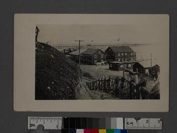
Image of the rustic fence from Palisades Park leading down to the Beach Road (later Pacific Coast Highway) with a horse-drawn wagon parked next to houses along Sunset Beach in Santa Monica, California. The Santa Monica Municipal Pier is visible in the distance.
photCL_555_01_1213
Visual Materials
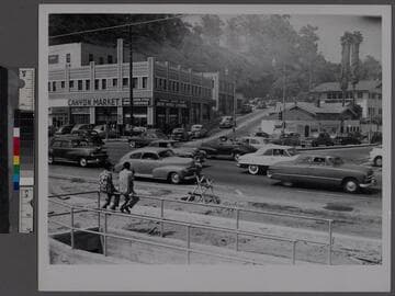
Image of automobile traffic at the intersection of Pacific Coast Highway, Chautauqua Boulevard, and Channel Road in Santa Monica, California. Two boys are sitting on a railing watching traffic across from storefront signs that read "Canyon Market," "Canyon Liquor Store" and "Gloryfied frankfurters."
photCL_555_01_1187
Visual Materials
View of the Palisades bluffs above the beach, with a rustic wood fence, and palm trees in Palisades Park in Santa Monica, California. The Sunset Trail path is on the right; a woman is walking down it in the background. The coast road (later part of Pacific Coast Highway) and buildings on the beach are also in the view.
photCL_555_01_1315