Manuscripts
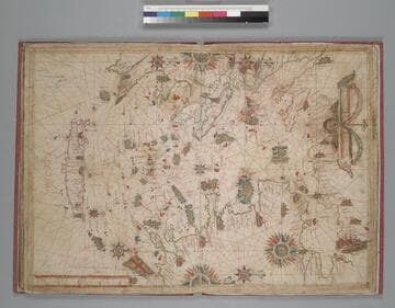
Portolan atlas : [cartographic material] :
Image not available
- Description
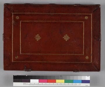
- World atlas containing 15 nautical charts, tables of declinations, etc. Of anonymous production, possibly by a Portuguese cartographer or based on a Portuguese prototype; the 2 final charts by a different person. Bound, circa 1805, in French straight grain red morocco, gilt; rebacked, original spine laid down.
- Production date
- 1547].
- Call number
- mssHM 29
- Provenance
- Purchased from A. S. W. Rosenbach, 1924. On title page, f. 1, under an armillary sphere is written "Nicolas Vallard de Dieppe, 1547." Vallard was probably not the cartographer, but the first owner, whose coat of arms may be those in the center of the border illustrations on chart 11: argent on a saltire sable (or gules?) five besants, in chief a mullet sable pierced of the field. Owned by Charles Maurice de Talleyrand-Périgord, Prince de Bénévent (1754-1838). His sale, London, 8 May 1816, n. 3464 to Robert Triphook. His sale, Evans, 29 March 1833, n. 445 to Henry Bohn. David Steward Ker sale, London, 7 May 1849, pt. IV, n. 791 to Sir Thomas Phillipps. "Phillipps MS 13199" inscribed on flyleaves ii and iii and his Middle Hill bookplate on front pastedown along with date "1850" and note describing the manuscript.