Opening Hours
Daily: 10 A.M.–5 P.M.
Closed on Tuesdays
1151 Oxford Road
San Marino, CA 91108
Rare Books
Image not available
Daily: 10 A.M.–5 P.M.
Closed on Tuesdays
1151 Oxford Road
San Marino, CA 91108

Rare Books
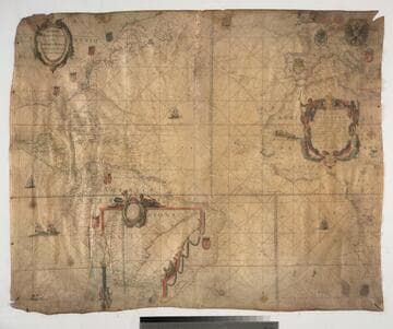
The left side showing the Americas has the southern extension of South America as an insert in Brazil. On vellum. Note the erroneous date "1608" is penciled in. This is similar to State 2 as defined by Burden (223) -- there is no sailor with cross staff as described by Burden. A landmark map, first sea chart of America in Mercator Projection. Shields of the major European powers are on the corresponding countries and/or colonies overseas. Largest sheet of vellum then available. See 268067 for a derivative map. Relief: no. Projection: Mercator. Printing Process: Engraving.
439524
Rare Books
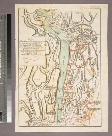
Showing troop movements of the two armies leading up to the Battle of White Plains. Publisher, location, and date information comes from John Carter Brown Library, Brown University - Raspe and Korn were both publishers. A copy is bound into the back of Korn's Geschichte der kriege in und ausser Europa, RB 304987. MS note: 80161. Prime meridian: GM. Relief: hachures. Projection: Plane. Watermark: Lettering; device. Printing Process: Copper engraving. Verso Text: Syamp: DK [twice].
80161