Rare Books
The seat of war in the East
Image not available
Daily: 10 A.M.–5 P.M.
Closed on Tuesdays
1151 Oxford Road
San Marino, CA 91108

Image not available
Rare Books
352009
Image not available
Visual Materials
Kashnor dates [1861]. No fortifications around Washington. Heading with advertisement for Colton's maps. List of Generals of both Armies. Exports/ Imports for 1860. Advertisement for Colton's Maps.. Relief: hachures. Graphic Scale: Miles. Projection: Cylindrical. Printing Process: Lithography. Verso Text: MS note: 368.
105:368 M
Visual Materials
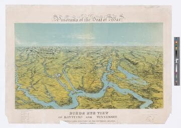
Image of a relief map of the seat of The American Civil War showing Cairo, Illinois, and parts of other southern states, including Kentucky and Tennessee; battleships in Mississippi River and its tributaries visible; distances from notable cities noted in lower margin.
priJLC_MIL_000798
Visual Materials
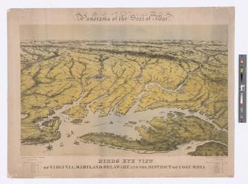
Image of an aerial view relief map of the seat of the American Civil War showing Virginia, Maryland, Delaware, and the District of Columbia; battleships in Atlantic Ocean, Chesapeake Bay and rivers, railroads, and symbols for cities visible; distances from notable cities noted in lower margin.
priJLC_MIL_000799
Visual Materials
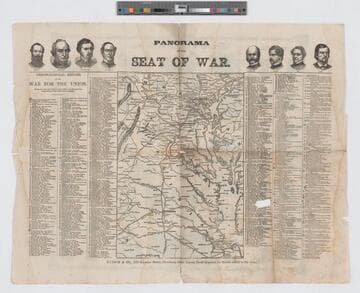
Image of an 1861 daily chronological record of events in the American Civil War for the Union with a map of Maryland and Virginia at center; portraits of Union officers Ulysses S. Grant, Henry W. Halleck, George B. McClellan, David Farragut, Ambrose Burnside, Nathaniel P. Banks, John Adams Dix, and Franz Sigel at top; image of comicalities of the war for the Union and portraits of Union heroes on verso.
priHHC_MIL_0000005
Image not available
Rare Books
A map drawn after the battle of Bull Run by a Confederate printer showing the concentration of Confedarate forces in northern Virginia. Text below map describes distances within the area.. Relief: hachures. Graphic Scale: Miles. Projection: Cylindrical. Printing Process: Lithography. Verso Text: MS note: 151237.
151237