Manuscripts
The Needles area looking northeast over Indian Creek Valley. The LaSal Mountains at upper left [see original page for description and date on reverse of photo]

You might also be interested in

Head of northeast fork of 73. Navajo Mountain is upper left. Butte 6069 is upper right
Manuscripts
mssMarston papers V029/0037

Head of northeast fork of 73.6. Navajo Mountain is upper left. Butte 6069 is upper right
Manuscripts
mssMarston papers V029/0036
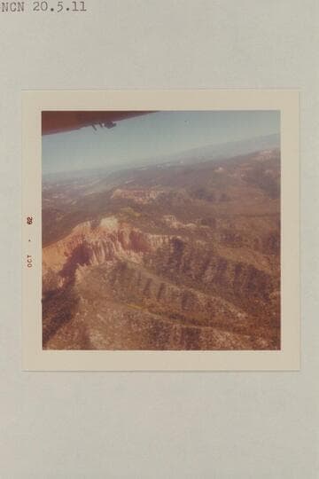
In the upper Paria-Cedar Breaks area between Page and Cedar City
Manuscripts
mssMarston papers V036/0025
![The Needles. Chesler Park. Southeast of the Junction. From near the southern end of Cyclone Canyon [N end Devils Lane] This area is at upper left in 584 CTCN 213.33 and 584 CTCN 213.34. 584 CTCN 212.36 shows terrain to left of this print](/_next/image?url=https%3A%2F%2Frail.huntington.org%2FIIIF3%2FImage%2F22APN4IFBKAS%2Ffull%2F%5E360%2C%2F0%2Fdefault.jpg&w=750&q=75)

