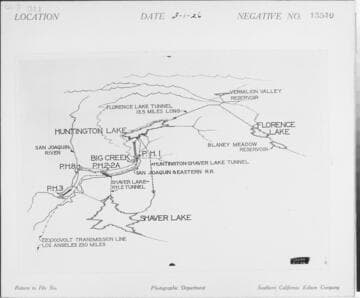
Visual Materials
C1.3 - Maps
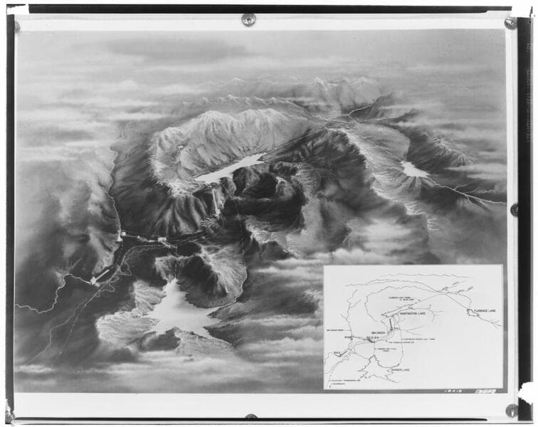
- Description
- C1.3 - Maps - Relief map of Big Creek facilities as they were in 1933.
- Date
- 8/1/1933
- Call number
- photCL SCE 02 - 18018
Daily: 10 A.M.–5 P.M.
Closed on Tuesdays
1151 Oxford Road
San Marino, CA 91108

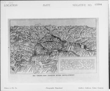
Visual Materials
C1.3 - Maps - Relief map of Big Creek-San Joaquin River Development [existing & proposed].
photCL SCE 02 - 13284
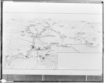
Visual Materials
C1.3 - Maps - Relief map of the "Ultimate Projected" hydro-electric development on the San Joaquin River for Edison's Big Creek Project. Padget conception.
photCL SCE 02 - 08465
Visual Materials
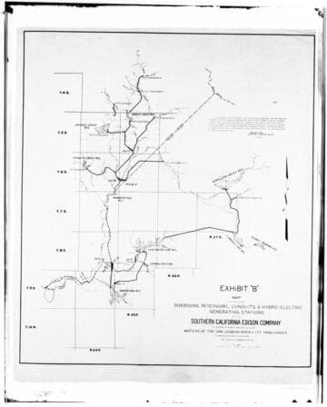
C1.3 - Maps - Big Creek development map. Exhibit B - includes northern diversions and plants that were never built.
photCL SCE 02 - 08147
Visual Materials
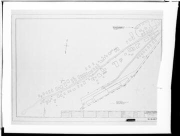
C1.3 - Maps - Distribution map of cabins, buildings at Big Creek.
photCL SCE 02 - 19066
Visual Materials
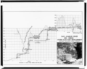
C1.3 - Maps - Profile drawing of Big Creek facilities showing tunnels and pipelines.
photCL SCE 02 - 18019