Visual Materials
C1.3 - Maps
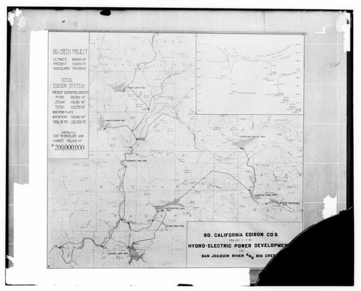
- Description
- C1.3 - Maps - Barre combination map of the Big Creek project [showing projection for ultimate output and costs to build compared to existing (1922) output.]
- Date
- 1922
- Call number
- photCL SCE 02 - 07450
Daily: 10 A.M.–5 P.M.
Closed on Tuesdays
1151 Oxford Road
San Marino, CA 91108

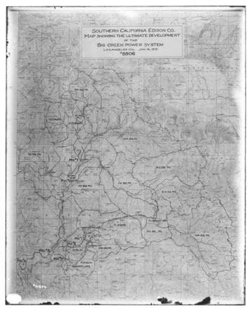
Visual Materials
C1.3 - Maps - Map showing the ultimate development of the Big Creek Power System
photCL SCE 02 - 04874
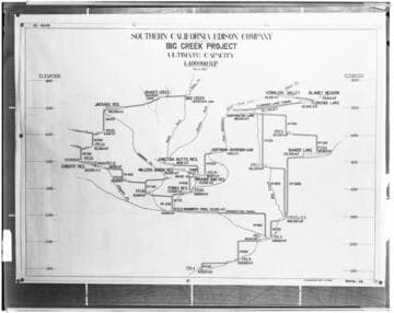
Visual Materials
C1.3 - Maps - Profile map of the "Ultimate Projected" hydro-electric development on the San Joaquin River for Edison's Big Creek Project
photCL SCE 02 - 08450
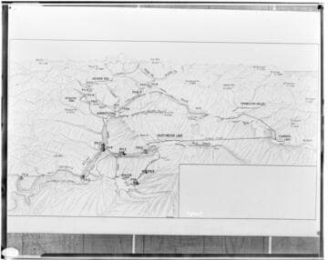
Visual Materials
C1.3 - Maps - Relief map of the "Ultimate Projected" hydro-electric development on the San Joaquin River for Edison's Big Creek Project. Padget conception.
photCL SCE 02 - 08465
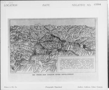
Visual Materials
C1.3 - Maps - Relief map of Big Creek-San Joaquin River Development [existing & proposed].
photCL SCE 02 - 13284
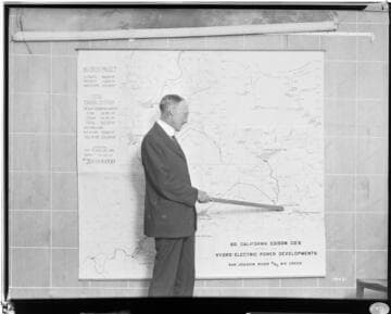
Visual Materials
C1.3 - Maps - Mr. Barre at map showing proposed development of the San Joaquin River and Big Creek. He is pointing to Florence Lake Reservoir.
photCL SCE 02 - 10431
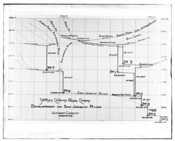
Visual Materials
C1.3 - Maps - Big Creek development Kilowatt output profile chart [proposed, includes PH 6 & 7]
photCL SCE 02 - 05450