Visual Materials
C1.3 - Maps
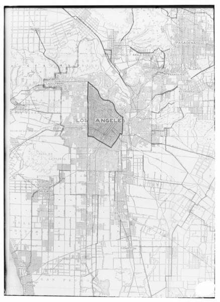
- Description
- C1.3 - Maps - A political map of Los Angeles and the surrounding area, ca. 1914.
- Date
- 5/20/1914
- Call number
- photCL SCE 02 - 02647
Daily: 10 A.M.–5 P.M.
Closed on Tuesdays
1151 Oxford Road
San Marino, CA 91108

Visual Materials
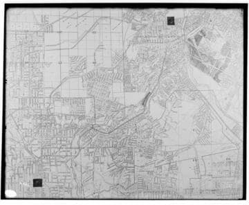
C1.3 - Maps - A map of the Los Angeles area specifically showing the territory between Los Angeles #3 Steam Plant and Pasadena Substation.
photCL SCE 02 - 00445
Visual Materials
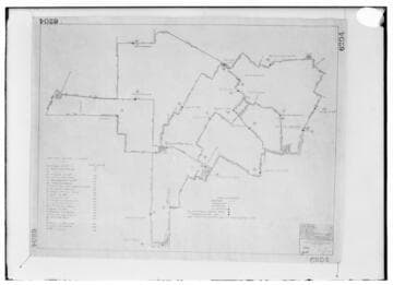
C1.3 - Maps - A map showing 2200 Volt switches in the Los Angeles District.
photCL SCE 02 - 02960
Visual Materials
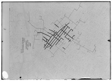
C1.3 - Maps - A map of 500V DC territory in Los Angeles.
photCL SCE 02 - 02649
Visual Materials
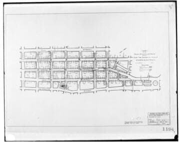
C1.3 - Maps - A map of Edison's tube (conduit) system for the Los Angeles district.
photCL SCE 02 - 01176
Visual Materials
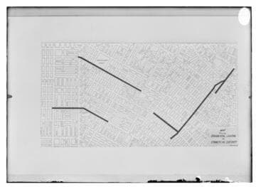
C1.3 - Maps - A map of ornamental lighting in the commercial district of Los Angeles.
photCL SCE 02 - 02650
Visual Materials
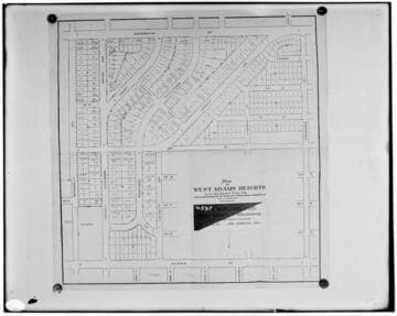
C1.3 - Maps - A map of West Adams Heights in Los Angeles City.
photCL SCE 02 - 00597