Opening Hours
Daily: 10 A.M.–5 P.M.
Closed on Tuesdays
1151 Oxford Road
San Marino, CA 91108
Visual Materials
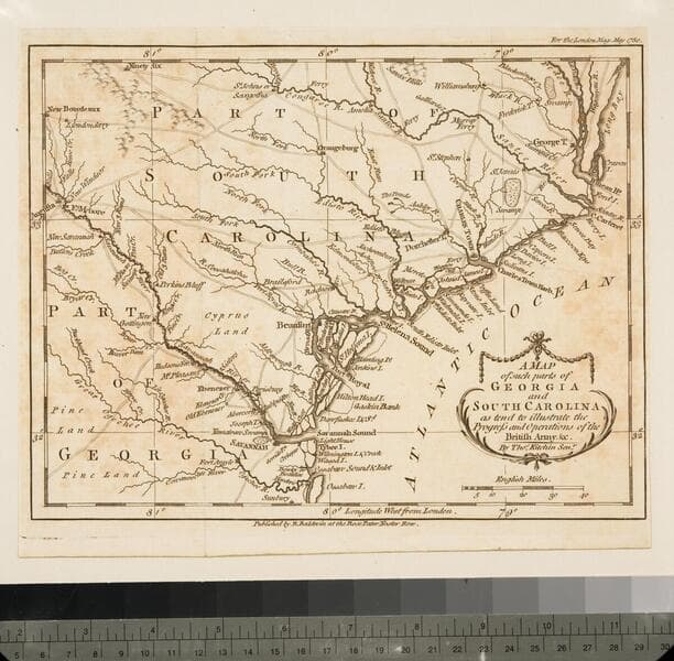
Daily: 10 A.M.–5 P.M.
Closed on Tuesdays
1151 Oxford Road
San Marino, CA 91108

Visual Materials
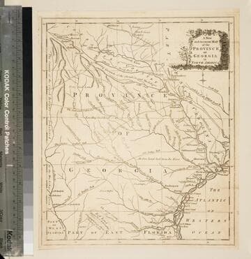
Kashnor notes, "Shows the old trading paths and the Hunting Grounds of the Cherokees." Kashnor dates c.1776. RLIN record notes date as [1779?] and place of publication as [London?] and as appearing in The Universal Magazine of 1779. See 093:391 and 105:103 for additional copies. MS note: 94 (on backing). Prime meridian: [Ferro]. Relief: pictorial. Projection: Cylindrical. Watermark: Crowned circular seal. Printing Process: Copper engraving. Other Features: Cartouche. Verso Text: MS note: 32 94(on backing).
093:094 S
Visual Materials
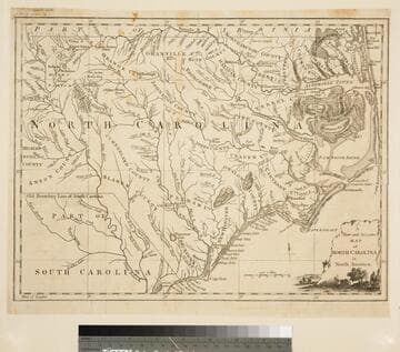
Kashnor notes,"A scarce map issued during the early days of the American Revolution." Kashnor dates as [1776]. MS note: 376 (on map and backing). Transfer text upper left corner.. Prime meridian: London. Relief: pictorial. Graphic Scale: Miles. Projection: Plane. Watermark: Two seals.. Printing Process: Copper engraving. Other Features: Cartouche. Verso Text: MS note: 11. 376(on backing)..
093:376 S
Image not available
Visual Materials
Kashnor notes, "Shows the old trading paths and the Hunting Grounds of the Cherokees." Kashnor dates c.1776. RLIN record notes date as [1779?] and place of publication as [London?] and as appearing in The Universal Magazine of 1779. See 093:391 and 105:103 for additional copies. MS note: 391 (on backing). Prime meridian: [Ferro]. Relief: pictorial. Projection: Cylindrical. Watermark: Crowned circular seal. Printing Process: Copper engraving. Other Features: Cartouche. Verso Text: MS note: 391 (on backing).
093:391 M

Visual Materials
Kashnor notes, "Published during the Revolution, this map shows the main roads in both provinces." See 093:076S for another copy. District and Township lines marked. MS note: 75 (on backing). Prime meridian: London. Relief: no. Graphic Scale: Miles. Projection: Cylindrical. Watermark: Crowned circle with lion clutching arrows. Printing Process: Copper engraving. Verso Text: MS note: 75 (on backing).
093:075 S
Visual Materials
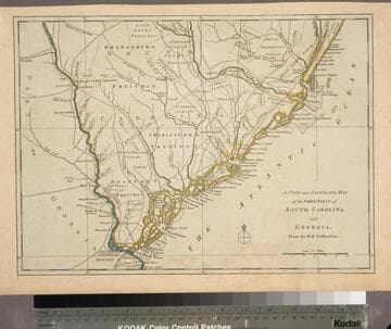
Kashnor notes, "Published during the Revolution, this map shows the main roads in both provinces." This map duplicates 093:075S. Map is trimmed to neatline all sides. District and Township lines marked. MS note: 76 (on backing). Prime meridian: London. Relief: no. Graphic Scale: Miles. Projection: Cylindrical. Printing Process: Copper engraving. Verso Text: MS note: 76 (on backing).
093:076 S
Visual Materials
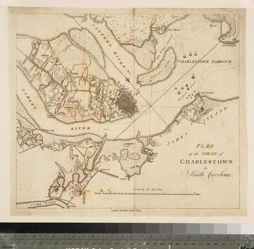
Kashnor notes, "This shows Charlestown Harbour from Fort Sullivan to Charlestown Neck, and locating the positions of the British Fleet with the boom across Cooper's River. On the neck is shown the encampment of the British Forces, and the three parallels which eventually led to the fall of the town." The siege of Charleston ended May 12, 1779 with surrender to British forces. MS note: 72 (on backing). Relief: pictorial & hachures. Graphic Scale: Miles, furlongs. Projection: Plane. Printing Process: Copper engraving. Verso Text: MS note: 72 (on backing).
093:072 S