Opening Hours
Daily: 10 A.M.–5 P.M.
Closed on Tuesdays
1151 Oxford Road
San Marino, CA 91108
Visual Materials

Daily: 10 A.M.–5 P.M.
Closed on Tuesdays
1151 Oxford Road
San Marino, CA 91108

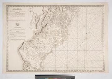
Visual Materials
Kashnor notes, "This is one of the charts issued for the use of French naval officers during the American Revolution." Seal of Depot de la Marine. MS note: bottom below neatline giving place of sale. . Prime meridian: Paris. Relief: hachures. Graphic Scale: Leagues. Projection: Mercator. Printing Process: Copper engraving. Verso Text: MS note: 318 M4.
105:318 M
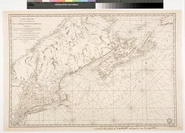
Visual Materials
Kashnor notes, "This was one of the best charts issued during the American Revolution, mainly for the use of the French ships-of-war allied to the Colonists." Seal of Depot General de la Marine lower right corner. French MS note below neatline.. Prime meridian: Paris. Relief: no. Projection: Mercator. Printing Process: Copper engraving. References: McCorkle 780.3. Verso Text: MS note: 118.
105:118 M
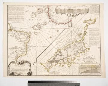
Visual Materials
Kashnor notes, "with two inset diagrams, shewing marine depths." Submap of the Island of Fernando de Noronha (Braz.) Submap of Island of Fernando de Noronha. Underwater crossectionals of ocean floor and islands.. Prime meridian: Pairs. Relief: pictorial & hachures. Graphic Scale: Leagues. Projection: Cylindrical. Watermark: Seal lettering. Printing Process: Copper engraving. Other Features: Sub-mapsArt Work. Verso Text: MS notes: 09 158.
105:158 M
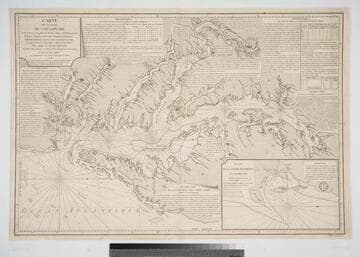
Visual Materials
Kashnor notes, "One of the French charts issued for the use of transports and ships-of-war operating with the American colonists." Shows sailing directions. See 105:086M for an earlier larger version of this map. Appeared in information from The American Revolution 1775-1783, Naval History Division, Dept of the Navy, Washington, 1972. Huntington Reference f G1201 S3 U5. Submap: Plan de la Baie Herring en Maryland. Seal of Depot de la Marine.. Prime meridian: Paris. Relief: no. Projection: Mercator. Printing Process: Copper engraving. Other Features: Sub-maps.
105:149 M
Image not available
Visual Materials
"Dresée au Depot des Cartes et Plans de la Marine Par ordre de M. le Duc de Choiseul Colonel général des Suisses et Grisons Ministre de la Guerre et de la Marine.""Par le S. Bellin Ingénieur de la Marine"" MDCCLXIV Corrigée en 1767. sur les Rems. des Navig." Kashnor notes, "Shows the northern part of the Island with the Straits of Belleisle." Kashnor dates as 1764, but corrections indicate 1767. Appeared in information from RLIN record. Prime meridian: Paris. Relief: no. Graphic Scale: Leagues. Projection: Mercator. Watermark: Two-headed bird lettering. Printing Process: Copper engraving. Other Features: Cartouche. Verso Text: MS note: 546.
Visual Materials
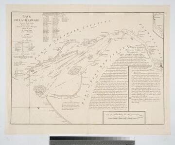
Kashnor notes, "A scarce chart issued for the use of the commanders of French ships-of-war and transports during the Revolution." Details sailing directions to port of Philadelphia. Relief: no. Graphic Scale: Miles, English, leagues, marine. Projection: Plane. Watermark: Chained Maltese cross lettering. Printing Process: Copper engraving.
105:089 M
105:546 M