Opening Hours
Daily: 10 A.M.–5 P.M.
Closed on Tuesdays
1151 Oxford Road
San Marino, CA 91108
Daily: 10 A.M.–5 P.M.
Closed on Tuesdays
1151 Oxford Road
San Marino, CA 91108

Rare Books
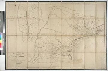
Kirkpatrick Catalogue entry: "2474 d i Mueller, D. P. Mappa chorographico da Provincia de São Paulo ... Paris, Alexis Origazzi, 1837. 1 sheet. (A Moreira de Barros, Taubate, 14 Feb. 1866). [see p.]."Very large map. Numerous MS notes off the coast from Barras de Cananca to Ubatuba, inland on the eastern third of the map, especially in the area just northwest of São Paulo. This seems to be the map he used, or at least annotated, most among the maps of Brazil. Verso notes this map was presented to Burton for his trip around the province by A. Moreira de Barro; inscription begins "Ao Illmo. Sñr. Capitão Richard Burton, H.M. Consul..." and is dated 14 February 14 1866. Prime meridian: Ferro. Relief: hachures. Projection: Polyconic. Printing Process: Lithography. Verso Text: MS notes: American p maps Mueller 2474 R.B. 11485 y. Note on presentation to Burton. Stamps: Kensington Public Libraries. .
623648
Rare Books
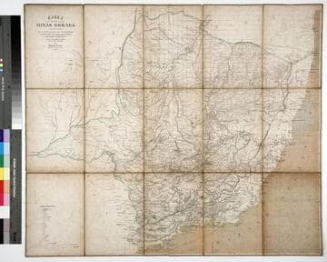
Kirkpatrick Catalogue entry: "2464 d Gerber, H. Carta da Provincia de Minas Geraes; coordeuado por ordem do. Exm. Sr. Conselheiro José Bento da Cunha Figueiredo, Presidente do Provincia ... [Rio de Janerio], 1862. 1 sheet. [see p.]."MS notes southwest of Diamantina and near Bagagem, now marked on maps as Iraí de Minas. Penciled in grid covers much of the map. Meridian given is actually Pao de Assucar, which refers to Sugarloaf Mountain in Rio de Janeiro. A drastically reduced and simplified version of this map appeared in Henrique Gerber's Noções geographicas e administrativas da Provincia de Minas Geraes, 1863 (Burton collection number 1821). Probably purchased while Burton was in South America between 1865 and 1868. Prime meridian: Rio de Janeiro. Relief: hachures. Graphic Scale: Leagues, kilometers. Projection: Cylindrical. Printing Process: Lithography. Verso Text: MS note: Brazil Stapms: Kensington Public Libraries.
623638
Rare Books
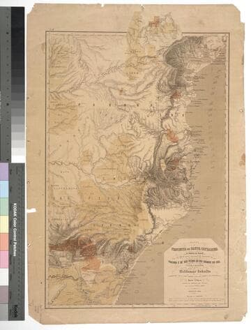
Kirkpatrick Catalogue entry: "2477 Schultz, W. Mappa da Provincia de Santa Catharina do Imperio do Brasil com as partes adjacentes das Provicncias do Parana e de São Pedro do Rio Grande do Sul. Leipzig, Instituto lithographico de F. A. Brockhaus, 1863. 1 sheet. [see cabinet]."Probably obtained while Burton was in South America between 1865 and 1868. MS notes: Burton (map cabinet) Schultz Mappa 2477. Prime meridian: GM. Relief: hachures. Graphic Scale: Leagues. Projection: Polyconic. Printing Process: Lithography.
623651
Rare Books
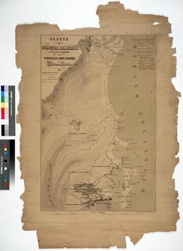
Kirkpatrick Catalogue entry: "2478 [Schultz, W.] Planta das colonias allemães e terrenos medidos na Provincia de Santa Catharina. Lipsia, Instituto lithographico de H. Kunsch, 1861. 1 sheet. [see cabinet]." Probably obtained while Burton was in South America between 1865 and 1868. Prime meridian: GM. Relief: hachures. Graphic Scale: Leagues. Projection: Plane. Printing Process: Lithography.
623652
Rare Books
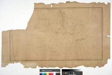
Kirkpatrick Catalogue entry: "2459 Atacama. Provincia se Atacama. [Santiago?, 18--]. 1 sheet [see p.]."Unknown maker of a mining district Burton may have had an interest in.Faint imprint in right margin reading "Breton Freres et cie."Atacama was a province from 1843 to 1974. The Copiapo-Caldera railway, the first in Chile, was constructed in 1850. The map shows "ferro carril" (railway track) between Juan Godoi and Copiapo, so this map was made after 1850. Probably obtained while Burton was in South America between 1865 and 1868. Ms notes: Burton (map cabinet) Atacama 2459. Relief: no. Projection: Plane. Printing Process: Lithography.
623633
Image not available
Rare Books
Kirkpatrick reference: 1841 Description: 89, [1] pages Imprint: S. Paulo : Typ. de Costa Silveira
635664