Rare Books
Rare Books
Daily: 10 A.M.–5 P.M.
Closed on Tuesdays
1151 Oxford Road
San Marino, CA 91108

Visual Materials
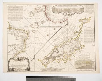
Kashnor notes, "with two inset diagrams, shewing marine depths." Submap of the Island of Fernando de Noronha (Braz.) Submap of Island of Fernando de Noronha. Underwater crossectionals of ocean floor and islands.. Prime meridian: Pairs. Relief: pictorial & hachures. Graphic Scale: Leagues. Projection: Cylindrical. Watermark: Seal lettering. Printing Process: Copper engraving. Other Features: Sub-mapsArt Work. Verso Text: MS notes: 09 158.
105:158 M
Visual Materials
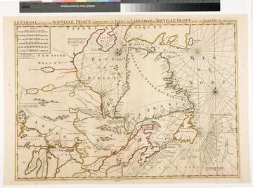
Kashnor notes, " This locates the fort below Port Nelson, 'occupé par le compagnie qui s'est formée en Canada pour la Baye de Hudson' ; also the forts of St. Duluth, St. Germkain, &ce., intended to protect the French settlements and to prevent the trading passing through to Hudson's Bay." Kashnor dates as ca. 1696. RLIN record suggests 1692. Prime meridian: Ferro. Relief: pictorial. Graphic Scale: Miles, leagues. Projection: Cylindrical. Watermark: linked PL. Printing Process: Copper engraving. Verso Text: MS note: 429.
105:429 M
Image not available
Visual Materials
Kashnor notes, "Taken from Durell's plan engraved by Fourdrinier in the same year, it is very rare." Notes confirm events pictured took place on March 4, 1741. Explanation of map details in French and Dutch at bottom of map. A pictorial map.. "représentant exactement la Vué de la Flotte Angloise le long de la Cote, dans le Baye proche la Ville &c. suivant le dessein apporté et représenté a la Régence et aux Seigneurs de l'Amirante d'Angleterre par la Captaine Guillaume Laws." Relief: pictorial. Graphic Scale: Leagues. Projection: Plane. Printing Process: Copper engraving. Verso Text: MS note: 883.
105:883 M
Image not available
Rare Books
MS notes: n393 jsy. "Par Mr. Bellin Ingenieur du Roy et de la Marine Pour servir a l'Intelligence des affaries et de la l'Etat present en Amerique communiquee." Prime meridian: Paris. Relief: pictorial. Graphic Scale: Leagues. Projection: Pseudocylindrical. Watermark: faint. Printing Process: Copper engraving. Verso Text: MS notes: 29 Canada 194223.
194223
Visual Materials
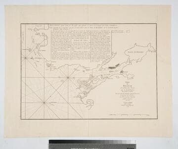
Kashnor notes, "A scarce chart published for the use of commanders of French Ships-of-War during the Revolution. With engraved directions for entering the port." Kershaw says based on Charles Morris's survey of 1759, copied from Jefferys 1768. Kashnor has this item numbered as 135*. Prime meridian: London. Relief: no. Graphic Scale: Miles. Projection: Cylindrical. Watermark: Chained Maltese cross lettering. Printing Process: Copper engraving. References: Kershaw 834. Verso Text: MS note: 135*.
105:135 M
Image not available
Visual Materials
Kashnor notes, "Includes the Bahamas and a portion of Cuba." MS note in French, lower right. Submap of Mississippi delta. Cartouche: draped. Submap: Carte des Embouchures du Fleuve St. Louis. Seal of Depot de la Marine. MS notes: lower right (in French). Prime meridian: Paris. Relief: no. Graphic Scale: Leagues. Projection: Cylindrical. Watermark: Shield lettering. Printing Process: Copper engraving. Other Features: CartoucheSub-maps. Verso Text: MS note: 480 M2.
105:480 M