Rare Books
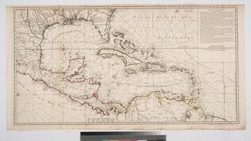
Carte pour l'introduction a l'Histoire d'Angleterre
- Description
- Originally issued in volume 2 (plate 42) of Atlas Historique, Ou Nouvelle Introduction A l'Histoire, à la Chronologie et à la Géographie Ancienne et Moderne. Published by l'Honoré & Châtelain in 1720. Map depicts a historical view of Britain and Ireland, drawing primarily on Caesar, but including information as late as the 5th century. Inset map is of the Saxon kingdoms. A summary of the known early history of the British Isles with portraits of rulers in the surround, ending with Anne in 1702. Vignettes: Rulers, descriptive information on history. "Tome 2, No. 42" Prime meridian: GM. Relief: no. Projection: Cylindrical. Printing Process: Copper engraving.
- Date
- 1720
- Call number
- 210142
- Dimensions
- 52 x 60 cm