Rare Books
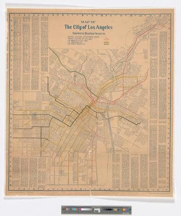
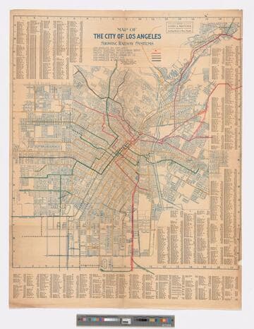
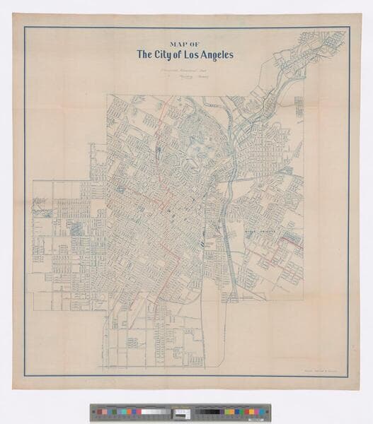
Map of the City of Los Angeles: franchises advertised -- red; franchises pending -- green [cartographic material]
1 of 2
- Description
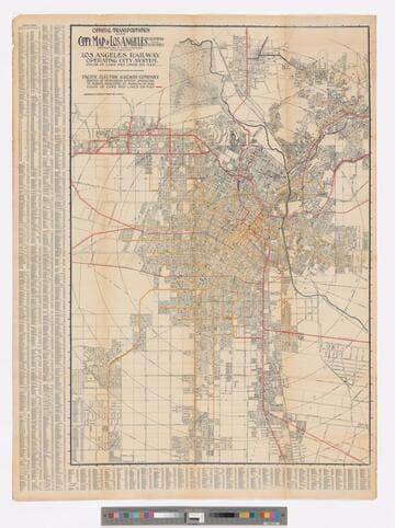
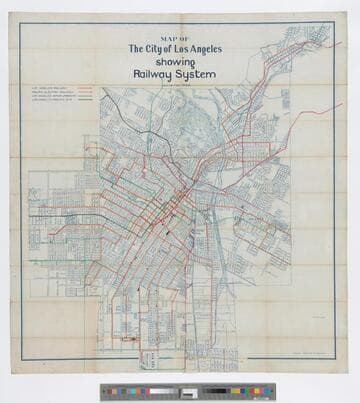
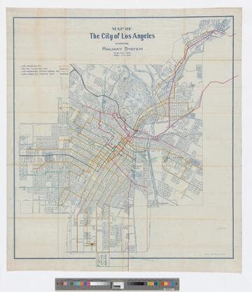
- Shows streets and prospective electric streetcar lines. The red lines show franchise lines advertised for sale, and have various sale dates between January to May 1903 annotated in pencil. Pending sales are indicated in green. Map was again issued with the subsequent railway lines in place under the title "Map of the City of Los Angeles showing railway system" Covers the city of Los Angeles with the Los Angeles Country Club to the West, Slauson Ave. to the South, the Evergreen Cemetery in Boyle Heights to the East, and Elysian Park to the North. Scale statement on map reads "1320 feet to one inch." Coordinates not present on map, approximated from Google maps. Relief given in hachures. Provenance unknown, in library as of 2017. Appears to have come from the office of one of Henry E. Huntington's railway companies.
- Date
- 1903?
- Call number
- 646646
- Provenance
- Provenance unknown, in library as of 2017.
- Restrictions
- RESTRICTED. Oversized material. Use of original requires approval and extended retrieval and delivery time. May require special handling instructions.
- Dimensions
- 90 x 84 cm on sheet 96 x 90 cm
- Associated people
- Huntington, Henry Edwards, (1850-1927,)
- Associated organization
- Pacific Electric Railway Company.

![Map of the City of Los Angeles: [showing weight of rails laid]](/_next/image?url=https%3A%2F%2Frail.huntington.org%2FIIIF3%2FImage%2F22APN4635XVA%2Ffull%2F%5E360%2C%2F0%2Fdefault.jpg&w=750&q=75)