Manuscripts
Manuscripts
Daily: 10 A.M.–5 P.M.
Closed on Tuesdays
1151 Oxford Road
San Marino, CA 91108

Manuscripts
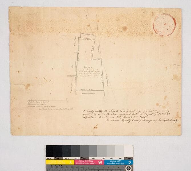
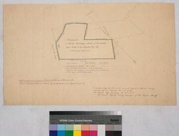
Survey No. 105, on the road to San Pedro. Verso: "Mark Brundage". Shows bordering parcel owners and ownership history from 1839; boundary in color. Original survey: 1854 December 22. Accompanied by 7 7/8 x 8 1/2 in. tracing of this map, plus photostat of variant version: 10 3/4 x 13 in. (minus ownership history). Alt title supplied by cataloger.
mssSolano SR_Map_0285.01
Manuscripts
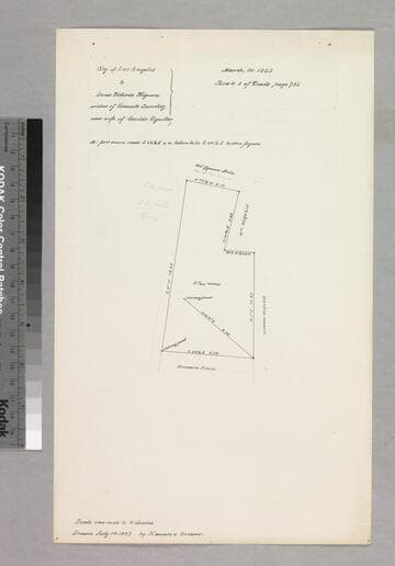
Shows bordering parcel owners, courses, distances (much less detail than previous map). Title supplied by cataloger.
mssSolano SR_Box_26(01).02
Manuscripts
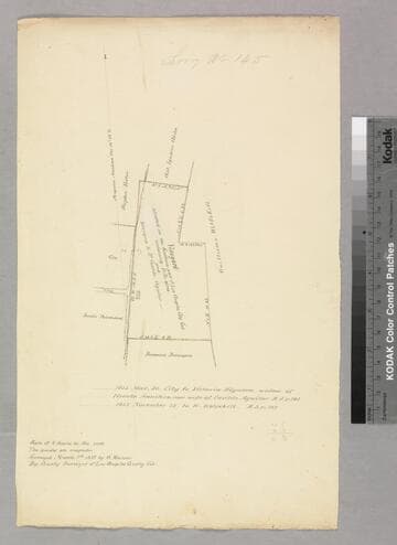
Showing bordering parcel owners, structure, courses, distances. Alt. title supplied by cataloger.
mssSolano SR_Box_26(01).01
Manuscripts
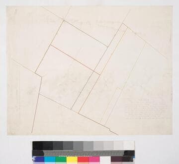
Parcel owners indicated; courses, distances, color highlighting. One of the parcels in the center of the large area enclosed by San Pedro, Kohler, Wolfskill, and Vejar Sts.*. Surveyed at the request of P.L. Du Casse. Alt title supplied by cataloger.
mssSolano SR_Map_0663
Manuscripts
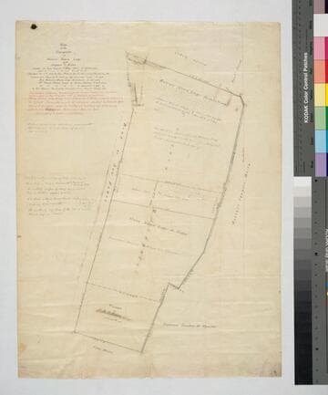
Parcels & owners along San Pedro Road and bordering areas. Shows subdivisions of June 10, 1855, and Dec. 5, 1867. Muted color highlights. Foster was mayor of LA. Alt title supplied by cataloger.
mssSolano SR_Map_0283
Manuscripts
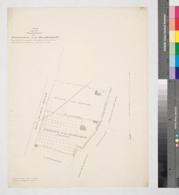
East side of San Pedro St., south from First St.. Shows structures, crops, parcel owners, zanja no. 4, Alameda sewer pipe; color highlighting, bearings, distances. Alt title supplied by cataloger.
mssSolano SR_Map_0521