Opening Hours
Daily: 10 A.M.–5 P.M.
Closed on Tuesdays
1151 Oxford Road
San Marino, CA 91108
Daily: 10 A.M.–5 P.M.
Closed on Tuesdays
1151 Oxford Road
San Marino, CA 91108

Manuscripts
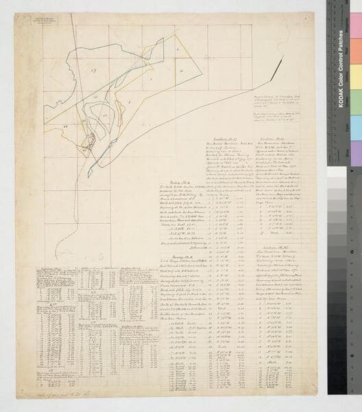
Bordered by Pacific Ocean, Rancho Los Cerritos, Sausal Redondo. Showing parcel owners: heirs of Maria Engracia Cota de Dominguez. Surface detail: hachures, water bodies, vegetation, subdivisions; color highlighting. Numerous tables with partitioned tract data, courses, distances, owners; table of allotments, Inner Bay, Salt Flat, Rattlesnake Island courses, distances. Signed by witnesses.
mssSolano SR_Map_0797
Image not available
Manuscripts
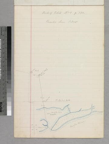
Showing courses, distances, parcel owners with tables of courses & distances. Three pages later: sketch map of Pallaveno's parcels with courses & distances. Title supplied by cataloger.
mssSolano SR_Box_22(06).08

Manuscripts
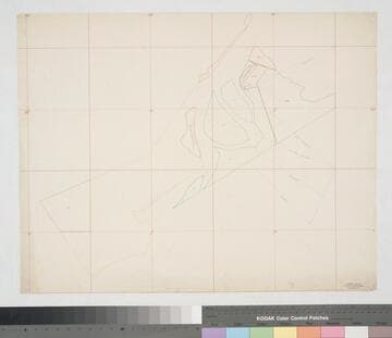
Rancho San Pedro. Different colored ink outlines of sections; Mormon & Smith islands indicated. Title supplied by cataloger.
mssSolano SR_Map_0219.03
![Plat of Washington Street between Main and San Pedro [Wolfskill] Streets](/_next/image?url=https%3A%2F%2Frail.huntington.org%2FIIIF3%2FImage%2F22APN4KRGC51%2Ffull%2F%5E360%2C%2F0%2Fdefault.jpg&w=750&q=75)
Manuscripts
Official Map No. 99, showing some structures and parcel owners; Martin Tract sections A-C. Black, red, blue ink with courses, distances. Alt title supplied by cataloger.
mssSolano SR_Map_0587

Manuscripts
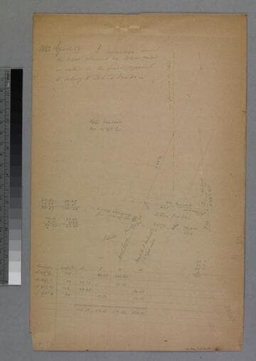
P. 8 [9] of pinned document, "Road to San Gabriel in front of the Ruiz tract..." showing structure, courses, distances, notations, calculations, table with data [same land as previous map]. Title supplied by cataloger.
mssSolano SR_Box_31(33).05

Manuscripts
Bound within document, "1884-1885, Rancho San Pedro, Manuel Dominguez, Dominguez Heirs partition 1884/85..." p. 5; In blue pencil with courses, distances; showing Pacific Ocean, section numbers. Title supplied by cataloger.
mssSolano SR_Box_24(07).02