Manuscripts
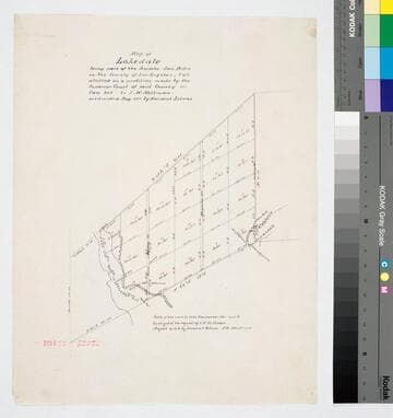
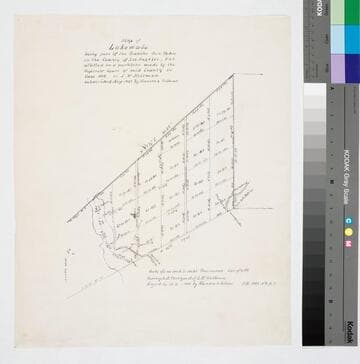
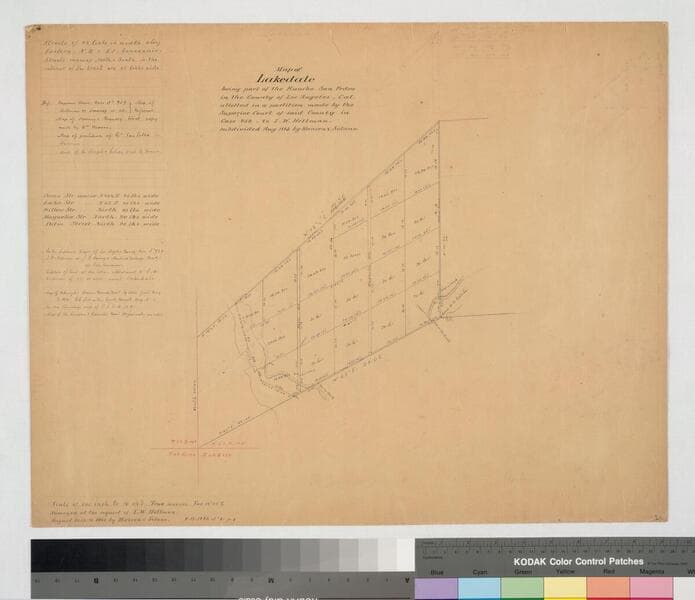
Map of Lakedale
- Description
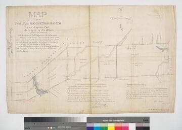
- Rancho San Pedro. Surveyed by request of I. W. Hellman. Featuring Hellman parcel, surface detail, parcel acreage, few hachures & waterways. Var. 14° 45' East; survey notations on left re: boundaries, Hellman vs. Downey, street courses; other maps referenced; pencil calculations, annotations. ; #33 on back. See also Map 207-5.
- Date
- 1883 August 14-16
- Call number
- mssSolano SR_Map_0211.01