Manuscripts
Daily: 10 A.M.–5 P.M.
Closed on Tuesdays
1151 Oxford Road
San Marino, CA 91108


Manuscripts
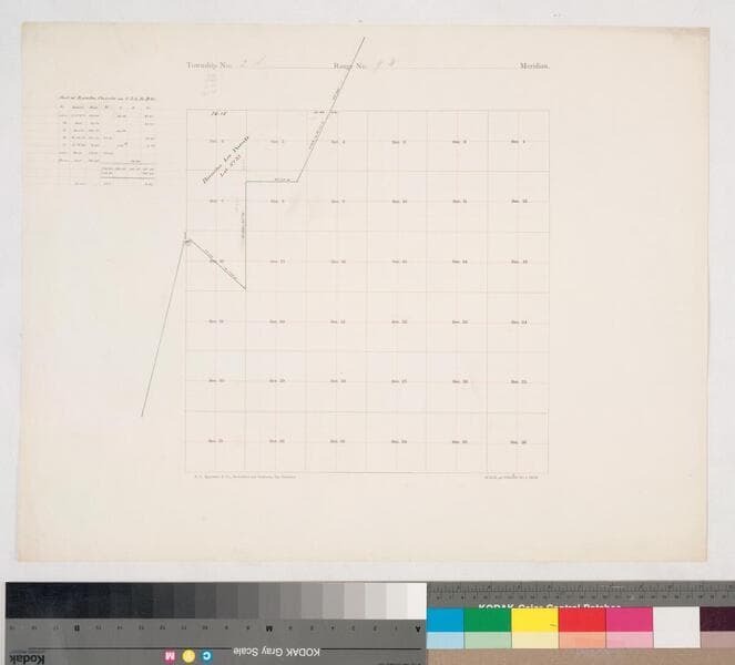
On printed township grid: covering sections 24-25, 36. Yellow boundary line. Title supplied by cataloger.
mssSolano SR_Map_0239.02
Manuscripts
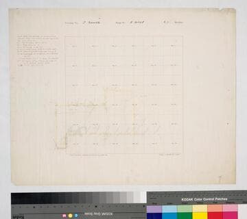
On printed township grid: covering sections 14-31. Hachures; yellow boundary line, structural landmarks. Title supplied by cataloger.
mssSolano SR_Map_0239.01
Manuscripts
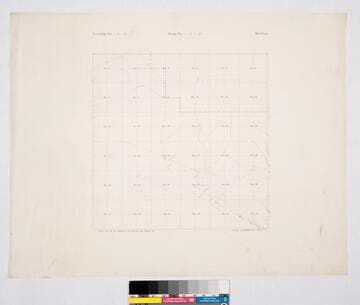
Rancho La Cañada. Pencil annotations. Township grid: 36 sections Title supplied by cataloger.
mssSolano SR_Map_0034.02
Manuscripts
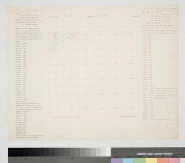
[Verso: Map #49]. Printed township grid: sections 5-8. Surveyed for Phineas Banning by T. J. Ellis per Wildy; beginning at a point called the Bariles or Barrel Springs . . . table with coordinates & distances on both sides of map [right side crossed out with note: "discarded. the connection at the Bariles was wrong and another survey was made Dec. 18, 1877 by J. Wildy"]. Title supplied by cataloger.
mssSolano SR_Map_0207.03
Image not available
Manuscripts
The collection consists of maps, field books, legal documents, business papers, and diaries related to the work of surveyors George Hansen, Alfred Solano, Sidney B. Reeve, and others. The maps and surveys in the collection are of the city of Los Angeles, Southern California ranchos, and subdivisions of the city of Los Angeles and neighboring towns. The collection contains over maps and sketch maps. Other subjects represented in the collection include: civil engineering, land subdivision, mines and mineral resources, and daily life in Los Angeles and Los Angeles County.
mssSolano
Manuscripts
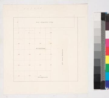
Bordered by Ranchos San Antonio & Tajauta, Los Angeles City. Hand drawn township grid in red & black inks; shows 1876 charter boundary. Title supplied by cataloger.
mssSolano SR_Map_0768