Manuscripts
Manuscripts
Daily: 10 A.M.–5 P.M.
Closed on Tuesdays
1151 Oxford Road
San Marino, CA 91108

Manuscripts
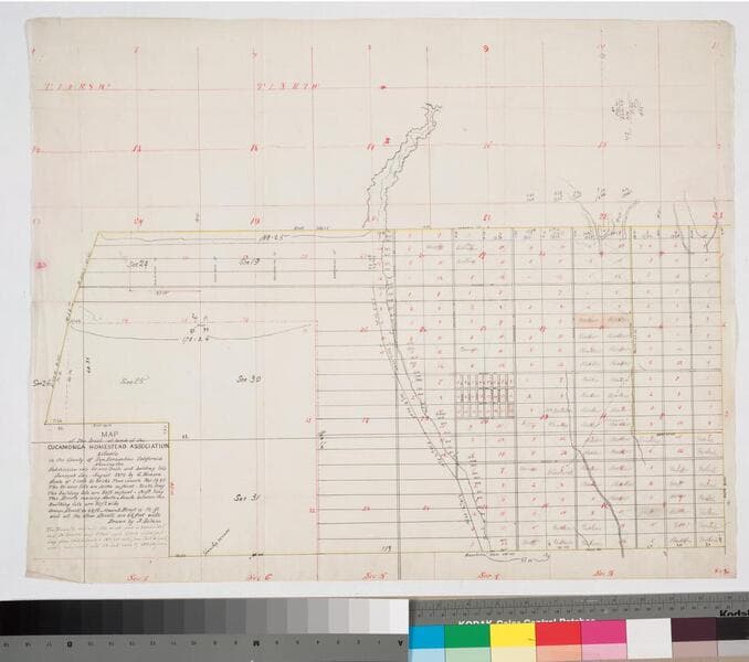
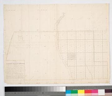
Variant copy of previous map; owner names added to some of the subdivisions. Hachures, color highlights. Subdivision map based on survey by G. Hansen. Townsite contains 120 acres with 24 blocks, Subdivided into 24 lots, and streets.
mssSolano SR_Map_0056.02
Manuscripts
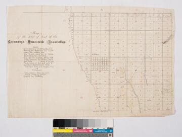
Subdivision, traced by J. H. Wildy, showing 20 acre tracts, building lots, streets. Var. 14° 45' E.
mssSolano SR_Map_0055
Manuscripts
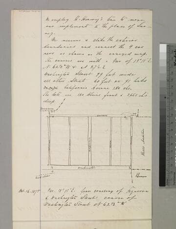
Verso of p. 4 of fastened document, "Los Angeles Homestead Association..." showing lots along Washington Street between Colorado & Nevada street [see previous map]; there are also two sketchs of blocks on the last page of this document. Title supplied by cataloger.
mssSolano SR_Box_29(34).02
Manuscripts
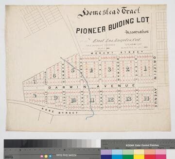
Original survey date: 1875 May. ; Traced by G. B. King.. Eastern Los Angeles, Mozart to Rose (Kuhrts) St., west from Griffin Ave., tract map. Red & black ink with blue highlighting. Lots are numbered with distances & bearings. Alt title supplied by cataloger.
mssSolano SR_Map_0445
Manuscripts
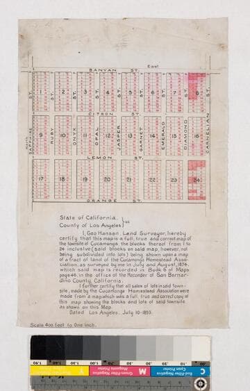
Rancho Cucamonga. Certification by Hansen, based on his July-August 1874 survey. Red highlights; blocks 1-24 inclusive, bordering streets: Orange, Sapphire, Banyan & Carnelian. Cucamonga Homestead Assn. Title supplied by cataloger.
mssSolano SR_Map_0060
Manuscripts
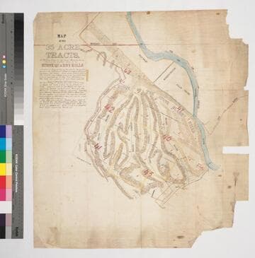
Southern Slope of the Stone Quarry Hills Blocks 41-43, 45-47, Hancock's Survey, dense hachures, structures, parcel owners; details of sell-off, public lands, road improvements. Shows Chaves & other ravines, Catholic cemetery, LA River. [See also Map 378 - based on same survey].
mssSolano SR_Map_0377