Opening Hours
Daily: 10 A.M.–5 P.M.
Closed on Tuesdays
1151 Oxford Road
San Marino, CA 91108
Daily: 10 A.M.–5 P.M.
Closed on Tuesdays
1151 Oxford Road
San Marino, CA 91108

Visual Materials
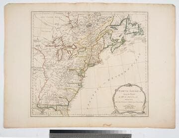
Kashnor notes, "An interesting map, showing parts of Canada, with Newfoundland, and Nova Scotia, and the United States east of the Mississippi." Prime meridian: London, Ferro. Relief: pictorial. Graphic Scale: Miles, English, sea leagues. Projection: Pseudocylindrical. Watermark: Crowned fleur-di-lis W I. Printing Process: Copper engraving. Other Features: Cartouche. Verso Text: MS note: 114.
093:114 M
Image not available
Visual Materials
Kashnor notes, "Shows a good coast line to the North-West from California to Alaska, with the supposed course of the Missouri after Lewis. British Columbia bear the name of New Norfolk, New Cornwall, New Hanover and New Georgia." Longitude is shown as "West of Greenwich" but marked east of 180th meridian, marked as 0°. MS notes: 874 Sue at L. Danish Settlement.. Prime meridian: GM (reversed). Relief: hachures. Graphic Scale: Miles. Projection: Conic. Printing Process: Engraving, etching. Verso Text: MS note: 204.
093:204 M
Image not available
Visual Materials
Kashnor notes, "Shows the American Coast from Hudson's Strait to the Mouth of the Amazon, and gives a particularly good chart of Nova Scotia and West Indies." Lengthy explanation of preparation of this chart lower right.. Prime meridian: London, Ferro. Relief: no. Projection: Mercator. Watermark: Crowned fleur-di-lis VI. Printing Process: Copper engraving. Verso Text: MS notes: 276 Chart of the Atlantic, Northern part -- Southern part 66.
093:276 M
Image not available
Visual Materials
Kashnor notes, "A good Western map tracing the course of the Missouri to the Yellowstone. Wisconsin is still North-West Territory, and over the border in the present Manitoba Province are the locations of the N. W. Company forts." See 093:603M , 105:656M and 093:604M for earlier copies. Prime meridian: London. Relief: pictorial. Graphic Scale: Miles, leagues. Projection: Pseudocylindrical. Printing Process: Copper engraving. Verso Text: MS note: 605.
093:605 M
Image not available
Visual Materials
Kashnor notes, "A good Western map tracing the course of the Missouri to the Yellowstone. Wisconsin is still North-West Territory, and over the border in the present Manitoba Province are the locations of the N. W. Company forts." See 093:604M and 605M for later copies. See 105:656M for another copy. Prime meridian: London. Relief: pictorial. Graphic Scale: Miles, leagues. Projection: Pseudocylindrical. Printing Process: Copper engraving. Verso Text: MS note: 603.
093:603 M
Image not available
Visual Materials
Kashnor notes, "A good Western map tracing the course of the Missouri to the Yellowstone. Wisconsin is still North-West Territory, and over the border in the present Manitoba Province are the locations of the N. W. Company forts." See 093:603M, 105:656M for an earlier copy, 105:605M for a later copy. Prime meridian: London. Relief: pictorial. Graphic Scale: Miles, leagues. Projection: Pseudocylindrical. Printing Process: Copper engraving. Verso Text: MS note: 604.
093:604 M