Opening Hours
Daily: 10 A.M.–5 P.M.
Closed on Tuesdays
1151 Oxford Road
San Marino, CA 91108
Daily: 10 A.M.–5 P.M.
Closed on Tuesdays
1151 Oxford Road
San Marino, CA 91108

Visual Materials
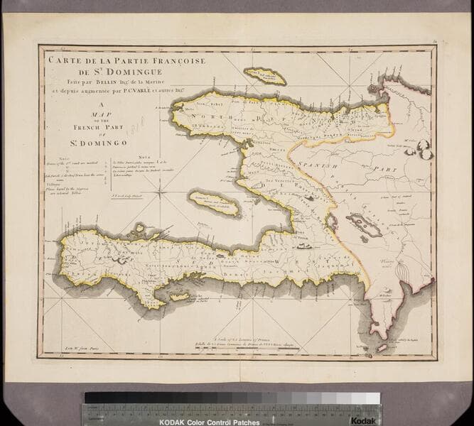
Kashnor notes, " 'Na. La Partie Espagnole est réunie a la France, par le traité de Paix conclu avec l'Espagne le 22 Juillet 1795.' In reality, San Domingo had been in the hands of the negroes since 1793." Text describing island's history.. Prime meridian: Ferro, Paris. Relief: hachures. Graphic Scale: Leagues. Projection: Cylindrical. Watermark: lettering (contains DuChamp) arrow. Printing Process: Copper engraving. Verso Text: MS note: 412.
105:412 M
Image not available
Visual Materials
Kashnor notes, "Though bearing a French title and imprint, with all names of places in French, it is obviously an English map issued to show the French claims and the English boundaries as well as French encroachments." McCorkle confirms map as by Kitchin, first edition. See also 093:515M for another copy. Kashnor implies the map is by Jean Palarait, but McCorkle explains that map to be a later copy of the Kitchin map. "Ou trouvera dans le troisiéme volume de la Nouvelle Introduction à la Géographie Moderne, que l'Auteur de l'Atlas Méthodique vient de mettre au jour, la description des pais, des pueples & des colonies de ce continent." Cartouche: flowered.. Prime meridian: London, Ferro. Relief: pictorial. Graphic Scale: Miles, leagues. Projection: Pseudocylindrical. Watermark: Crowned fleur-di-lis IV. Printing Process: Copper engraving. Other Features: Cartouche. References: McCorkle 755.22. Verso Text: Ms note: 622.
105:622 M
Image not available
Visual Materials
Two maps on one sheet. Sailing chart. Kashnor states Paris as production site. Kershaw identifies this as the first state of Bellin's map and gives appeared in information. Three cartouches. Vignette: Vue de Terres du Sud pour passer la Traverse en remontant le Fleuve.. Relief: pictorial & hachures. Graphic Scale: Leagues. Projection: Plane. Watermark: Crowned birds J. Sauvade au Veron. Printing Process: Copper engraving. Other Features: CartoucheVignettesSub-maps. References: Kershaw 650. Verso Text: MS note: 354.
093:354 M
Visual Materials
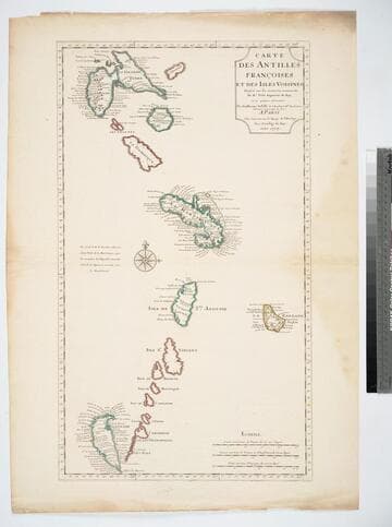
See 093:721 for another copy, 105:471 for later copy. "Dresée sur les memoires manuscrits De. Mr. Petit Ingenieur du Roy, et sur quelque observations." Prime meridian: Ferro. Relief: pictorial. Graphic Scale: Leagues. Projection: Cylindrical. Watermark: Chained maltese croos lettering. Printing Process: Copper engraving. Verso Text: MS note: 945.
105:945 M
Image not available
Visual Materials
A French navigational map. Seal of Depot de la Marine. Flowery cartouche.. "Contenant Les Costes de Labrador depuis Mecatina jusqu'a la Baye des Esquimaux le Détroit de Belle-Isle et Partie des Costes de l'Isle de Terre Neuve connues sous le Nom de Petit Nord Drésée au Dépôt des Cartes Plans et Journaux de la Marine pour le Service des Vaisseaux du Roy Par Order de M. Rouille Chr. Comte de Jouy & Ministre et Secretaire d'Etat ayant le Departement de la Marine MDCCLIII." Prime meridian: Paris, Ferro, Teneriffe. Relief: pictorial. Graphic Scale: Leagues. Projection: Mercator. Watermark: Crowned bird lettering. Printing Process: Copper engraving. Other Features: Cartouche. Verso Text: MS note: 789..
105:789 M
Image not available
Visual Materials
Kashnor notes: "This shows the course of the Missouri from Hot Bluffs up to Fort Mandan and then north, the extreme northern bend is not on the map, with another part of the river from Indian River to Burnt Lodge River; also showing the Yellowstone from latitude 48 to Clark's Fort. Locates the Indian Tribers with their respective numbers." Prime meridian: GM. Relief: pictorial & hachures. Graphic Scale: No. Projection: Pseudocylindrical. Printing Process: Lithography. Other Features: Text block. Verso Text: MS note: 606.
093:606 M