Opening Hours
Daily: 10 A.M.–5 P.M.
Closed on Tuesdays
1151 Oxford Road
San Marino, CA 91108
Daily: 10 A.M.–5 P.M.
Closed on Tuesdays
1151 Oxford Road
San Marino, CA 91108

Visual Materials
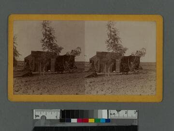
View of a small wooden shack, young trees and two young men lounging in front, with open land all around them. The boys are possibly members of photographer William H. Fletcher's family. Fletcher also had a residence on Calumet Avenue in Los Angeles (see related item).
photCL 555
Image not available
Visual Materials
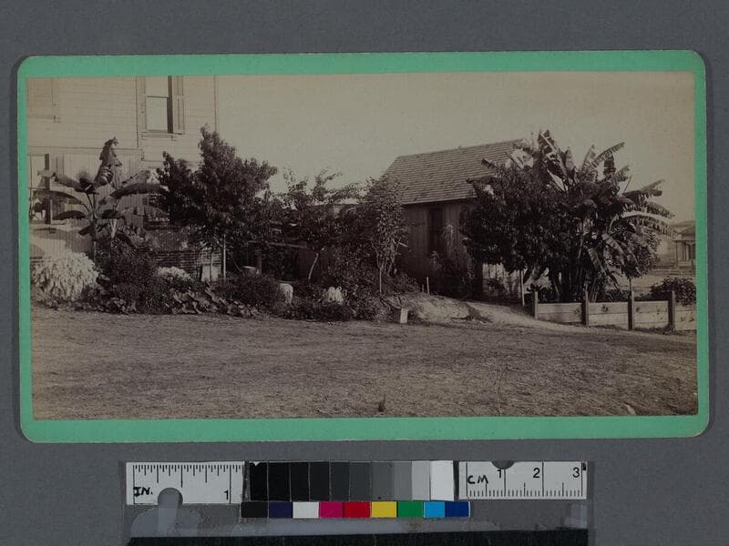
This collection of William H. Fletcher commercial card photographs focus mainly on Los Angeles, California, during a period of industrial expansion and population growth in the late 1800s. The images depict various views around Los Angeles, which include Los Angeles Street and some of its intersections, the Main and Spring Streets junction, Old Chinatown, the College of Medicine at University of Southern California (in its second incarnation on Buena Vista Street, now North Broadway), Llewellyn Iron Works, Elysian Park, the Hollenbeck Home for retirees, and what may be William H. Fletcher's residence (see item 6). Also included are photographs of Colorado Boulevard, Fair Oaks Avenue, and Devil's Gate in Pasadena; the Los Angeles River; the Hotel Arcadia in Santa Monica; the Point Fermin Lighthouse in San Pedro; Ventura; Redondo Beach; and the California missions San Luis Rey, San Juan Capistrano, and San Fernando Rey.
photCL 435
Visual Materials
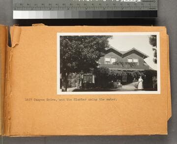
Automobile trip taken by J. G. Oliver and W. H. Frick from Los Angeles to the Owens Valley. The 260-mile trip follows the route of the aqueduct and depicts the landscape of Owens Valley, Owens Lake, and the reservoirs, conduits, concrete canals, siphons, and power plants bringing water to Los Angeles. The trip ends at 1837 Canyon Drive with a photograph of a woman watering her lawn. The 1915 Los Angeles City Directory, lists 1837 Canyon Drive as the residence of Julius G. Oliver. His friend, William H. Frick, a salesman at the Cass-Smurr-Damerell Company, lived nearby at 4534 Kingswell. 1837 Canyon was demolished.
photCL 442
Visual Materials
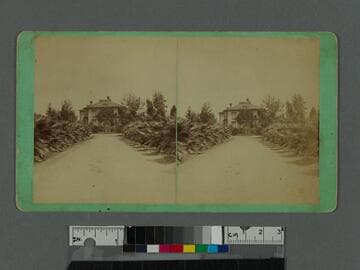
View looking down a dirt road known as Fan Palm Avenue, lined with small palm trees, towards the residence of General Charles A. Longstreet (died 1877) near West Adams Street and Figueroa Street in Los Angeles, California.
photCL 555
Image not available
Manuscripts
The collection consists of maps, field books, legal documents, business papers, and diaries related to the work of surveyors George Hansen, Alfred Solano, Sidney B. Reeve, and others. The maps and surveys in the collection are of the city of Los Angeles, Southern California ranchos, and subdivisions of the city of Los Angeles and neighboring towns. The collection contains over maps and sketch maps. Other subjects represented in the collection include: civil engineering, land subdivision, mines and mineral resources, and daily life in Los Angeles and Los Angeles County.
mssSolano
Visual Materials
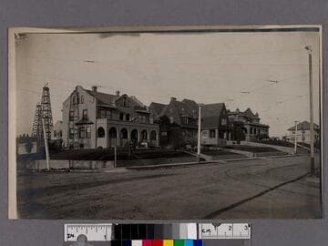
Image of an intersection at Alvarado Street and Ocean View Avenue (street names visible on corner sign) in the Westlake Park neighborhood of Los Angeles, California, with a Mission Revival house on the corner and oil wells in the background. Street railroad tracks can be seen in the dirt road. There are sprinklers and a man with a hose watering the lawn on the corner.
photCL_555_01_364