Visual Materials
Daily: 10 A.M.–5 P.M.
Closed on Tuesdays
1151 Oxford Road
San Marino, CA 91108

Visual Materials
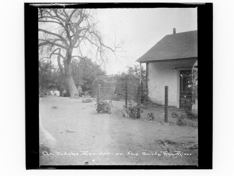
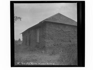
Image of an adobe building in the vicinity of the Santa Ana River.
photCL_555_06_245
Visual Materials
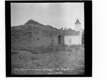
View of the ruins of an adobe building next to a wooden church, most likely at Yorba, (not Spadra), which was part of Rancho Santa Ana.
photCL_555_06_116
Visual Materials
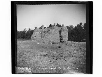
View of adobe ruins identified as belonging to the Botiller family, in Santa Ana Canyon. (What is now called Santa Ana Canyon is in the vicinity of present day Chino Hills, but it is not clear if this is that location).
photCL_555_06_247
Visual Materials
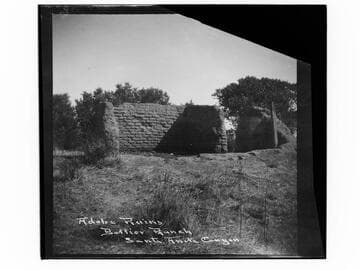
View of adobe ruins identified as belonging to the Botiller family, in Santa Anita Canyon. See also (06_248), a similar view, where location is called Santa Ana Canyon. (What is now called Santa Ana Canyon is in the vicinity of present day Chino Hills, but it is not clear if this is that location).
photCL_555_06_248
Visual Materials
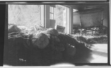
Santa Ana River #1 Powerhouse - Interior view of SAR 1 barn (south end) after flood with debris piled up inside of the building.
photCL SCE 02 - 03062
Visual Materials
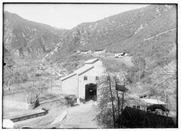
Santa Ana River #2 Powerhouse - general view. [showing cottages in the background and people around the plant in the foreground.]
photCL SCE 02 - 00046