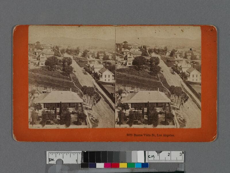
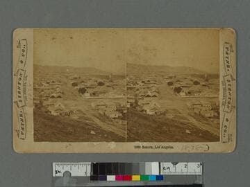
Elevated view looking northeast from Fort Moore Hill (also known as Fort Hill) over part of downtown Los Angeles including the Plaza neighborhood known as "Sonora Town" in the foreground, with Buena Vista Street (now North Broadway) partially visible in the foreground, with a two-story house on it near the intersection of Bellevue Avenue (later Sunset Boulevard and now Cesar E. Chavez Avenue).
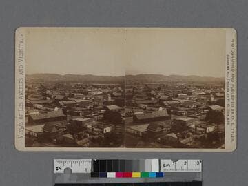
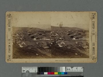
Elevated view of the Plaza district of Los Angeles (also known as Sonora Town) as seen from Fort Hill (also known as Fort Moore Hill), looking north with Buena Vista Street (now North Broadway) at right, and Bellevue Avenue (later Sunset Boulevard and now Cesar E. Chavez Avenue), the first intersecting road below.
View of the Plaza district of Los Angeles (also known as Sonora Town) as seen from Fort Hill (also known as Fort Moore Hill), looking north with Buena Vista Street (now North Broadway) at right, and Bellevue Avenue (later Sunset Boulevard and now Cesar E. Chavez Avenue), the first intersecting road below.
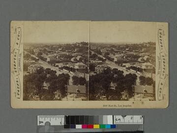
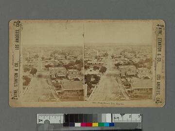
Elevated view looking down on First Street in downtown Los Angeles, California, with Fort Street (later Broadway) the first fully visible intersection with two-story brick building on corner.
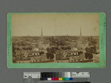
Elevated view looking down on houses, yards, and buildings towards the First Presbyterian Church with tall spire on the southwest corner of Second Street and Fort Street (later Broadway) in downtown Los Angeles, California, with the Cathedral of St. Vibiana, located on Main Street, visible beyond.